In This Guide
The Southern Half: Kalamazoo to Grand Rapids The Middle: Big Rapids to Cadillac The Northern End Using the CorridorUS-131 is how the western half of Michigan gets north. It runs about 270 miles from the Indiana Toll Road near Middlebury to US-31 at Petoskey, almost entirely within Michigan, carrying Grand Rapids traffic toward the cottage country every Friday afternoon in summer. It became an official highway on November 11, 1926, in the first wave of federal route numbering, and while much of it is now four-lane and fast, that is precisely its usefulness: it is the fastest way into the north, and understanding what sits just off it turns a transit route into a trip.
The Southern Half: Kalamazoo to Grand Rapids
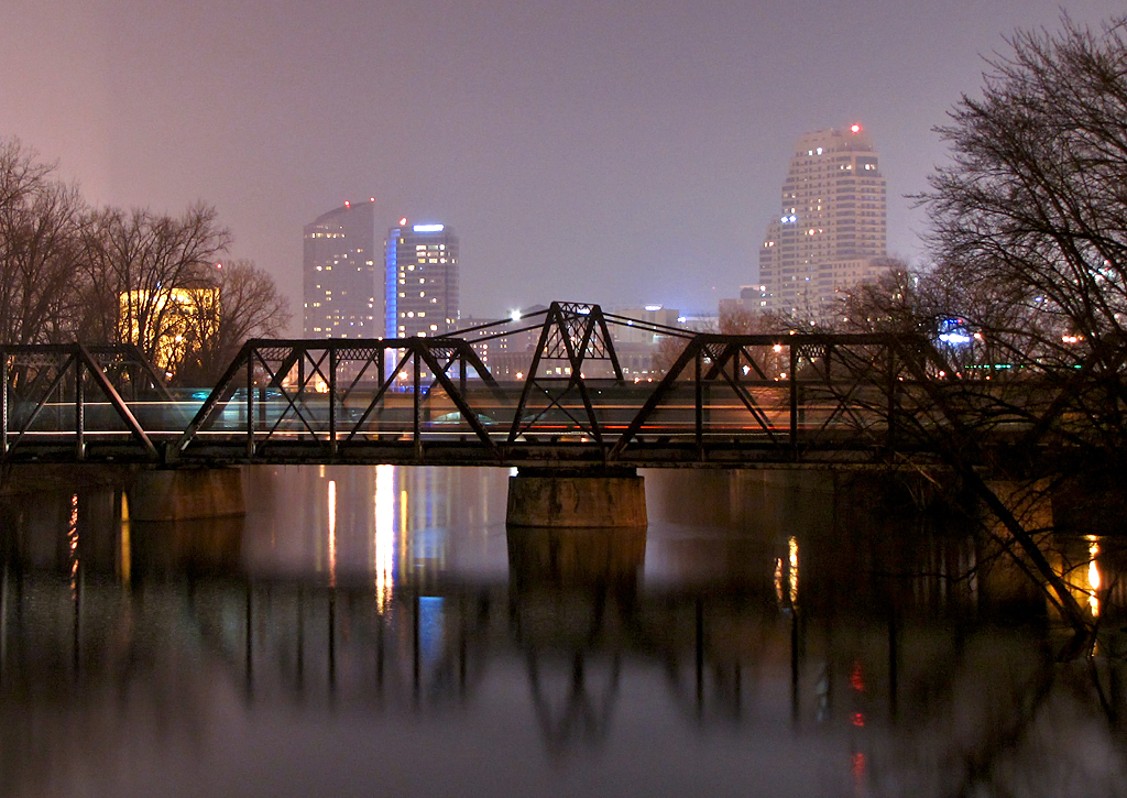
Entering from Indiana, the highway runs north through Three Rivers and Kalamazoo before reaching Grand Rapids, the largest city on the route and the practical hinge of the whole corridor. This southern stretch is agricultural and unremarkable at highway speed, which is exactly why the exits matter — Three Rivers sits where three rivers actually meet, and Kalamazoo holds the Air Zoo aerospace museum and the Kalamazoo Nature Center a short distance off the road.
Grand Rapids is where a traveler should consider stopping rather than passing through. Frederik Meijer Gardens and Sculpture Park sits east of the city, the downtown has become a genuine destination in its own right, and the city functions as the last major provisioning point before the corridor thins. For anyone driving north from Indiana or Ohio, this is the natural end of the first day.
The Middle: Big Rapids to Cadillac
North of Grand Rapids the landscape begins its slow handoff from farmland to forest. Big Rapids sits on the Muskegon River with a university and a downtown, and the country between it and Cadillac is the transition zone where southern Michigan becomes northern Michigan — the pines thicken, the towns get further apart, and the lakes start appearing.
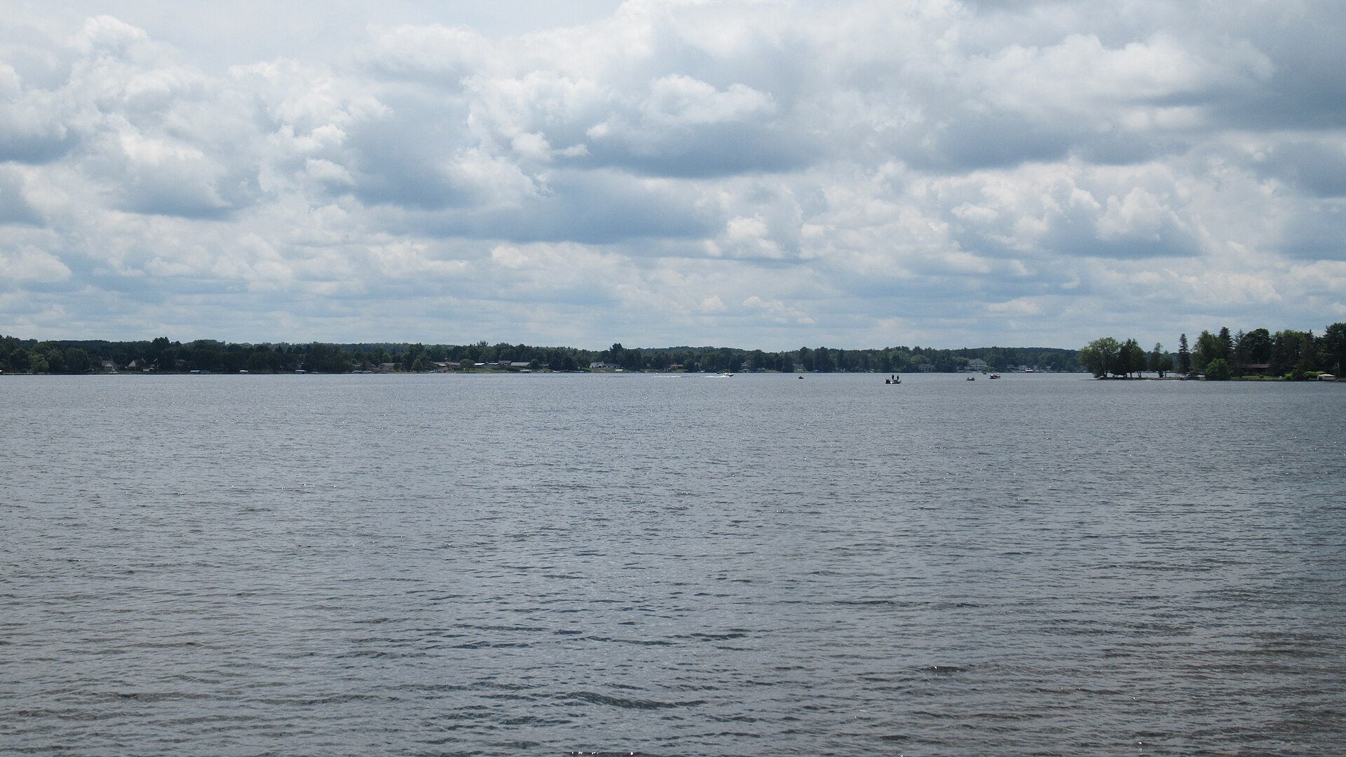
Cadillac is the corridor's northern anchor and a genuine destination rather than a waypoint. Two lakes joined by the quarter-mile Clam Lake Canal sit at the edge of town, Caberfae Peaks offers downhill skiing fifteen minutes west, and the Fred Meijer White Pine Trail — roughly ninety-two miles of rail-trail — runs south from here all the way to Comstock Park near Grand Rapids, paralleling much of the highway a traveler has just driven.
The Northern End
Above Cadillac the highway runs through Manton and Kalkaska, where it meets M-72 and the crossroads that funnels traffic toward Traverse City to the west and Grayling to the east. This junction is where a great many US-131 travelers leave the highway, and it is worth knowing that continuing north is the less-taken option.
The final stretch runs through Mancelona and Boyne Falls to the terminus at US-31 in Petoskey. That last leg passes through the Lake Charlevoix and Boyne country — Boyne Mountain rises just east of the highway — and finishes on Little Traverse Bay, which is about as satisfying an end to a north-south run as Michigan offers. From Petoskey, the Tunnel of Trees along M-119 begins a short distance up the shore.
Using the Corridor
US-131 is a transit route that rewards deliberate exits rather than a scenic drive to be savored mile by mile. The productive approach is to treat it as the spine and plan detours: Frederik Meijer Gardens near Grand Rapids, the White Pine Trail anywhere along its length, the Cadillac lakes, and the Boyne and Charlevoix country at the top.
Timing matters more than on most routes. Northbound Friday afternoons and southbound Sunday evenings in summer carry the cottage traffic and can be genuinely slow, particularly around Grand Rapids and at the Cadillac and Kalkaska bottlenecks. Traveling midweek, or shifting the drive to early morning, converts a frustrating haul into an easy one. Autumn color along the northern half is excellent and arrives without the summer volume.