In This Guide
The Loop Tahquamenon Falls Paradise and Whitefish Point Newberry and the Southern Leg Timing the LoopBest Time to Go
Spring for peak flow, late Sept–early Oct for color
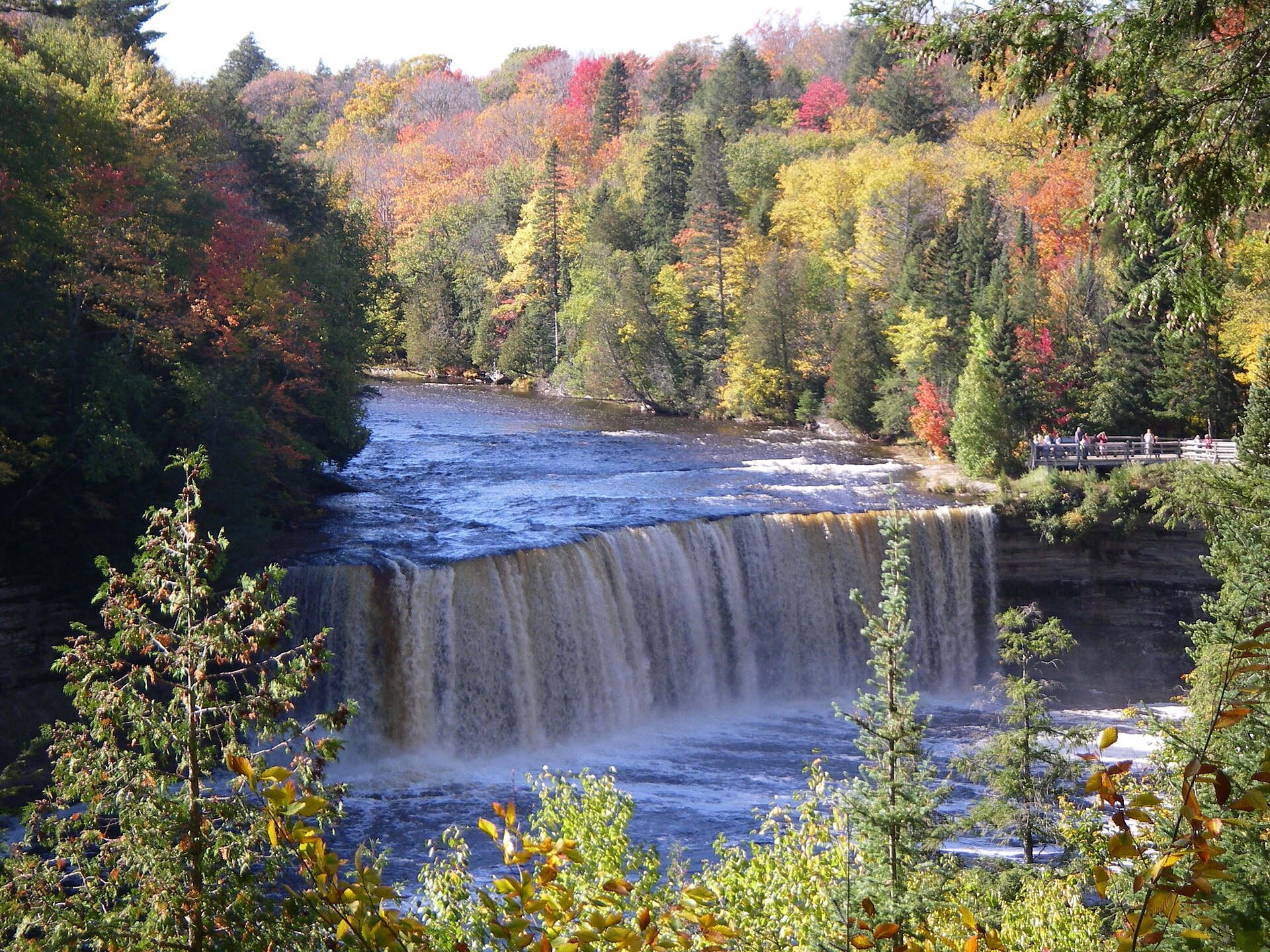
The Upper Falls carry the most water right after spring snowmelt, when the tannin-stained flow is at its most dramatic. Come back in early fall and the same view is framed by turning maple and birch, on the same U.P. color schedule as the rest of the region.
Most scenic byways run from one place to another. M-123 leaves M-28 in the eastern Upper Peninsula, runs north to the Lake Superior shore, turns east along Whitefish Bay, and then comes back south to rejoin M-28 — a genuine 63-mile loop that returns a driver to where they started. Along the way it passes the largest waterfall in Michigan, the village of Paradise, and the turnoff for the point where more ships have been lost than almost anywhere on the Great Lakes. It is the most efficient way to see the eastern U.P.'s headline attractions, and it can be driven comfortably in a day or stretched across three.
The Loop
The Tahquamenon Falls Scenic Byway follows M-123 for 63 miles, beginning and ending at M-28. From the southern junction it runs north through Newberry, continues to Tahquamenon Falls State Park, carries on to the Lake Superior shoreline, and turns east along Whitefish Bay to Paradise — the northernmost point on the highway — before bending back south to meet M-28 again. That loop shape is unusual among Michigan byways and genuinely convenient: there is no backtracking and no need to plan a return route.
The practical consequence is that a traveler can pick either direction and either endpoint. Coming from the Soo, entering from the east end and running counterclockwise puts Paradise and Whitefish Point early and the falls in the middle. Coming from the west, the Newberry entrance leads with the falls. Neither is wrong, though driving the Whitefish Bay portion in late afternoon light is a point in favor of the clockwise version.
Tahquamenon Falls
The Upper Falls is the centerpiece and among the largest waterfalls east of the Mississippi — a broad amber cascade whose distinctive brown color comes from tannins leached out of the cedar swamps upstream, not from sediment. The scale registers immediately: this is not a tall thin ribbon but a wide, heavy, thundering sheet of water, and the viewing platforms put visitors close enough to feel it.
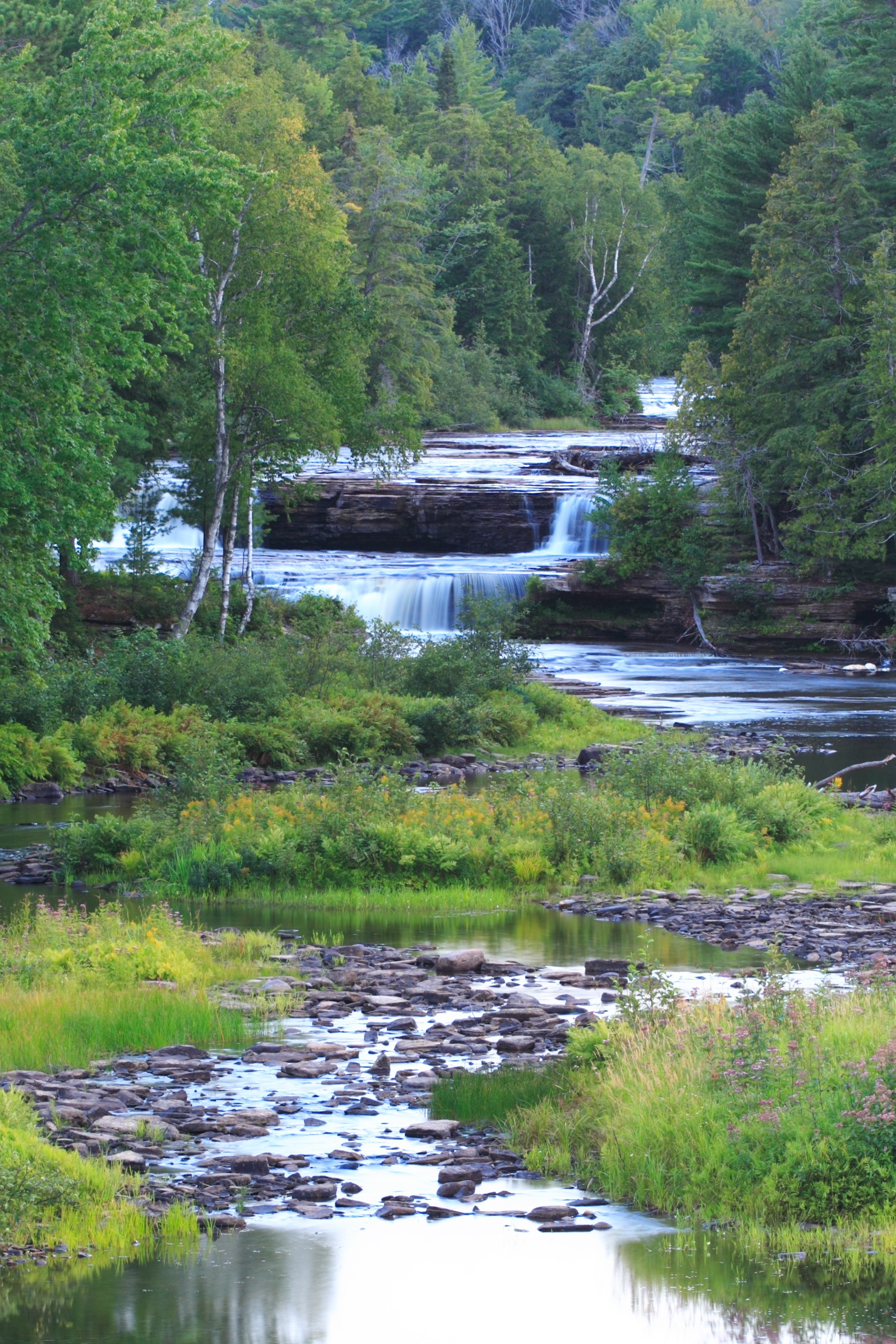
The Lower Falls, several miles downstream, are a different proposition — a series of smaller cascades around an island, gentler and more approachable, where visitors can wade in places and get considerably closer to the water. Seeing only one gives a partial picture. The River Trail runs between Upper and Lower Falls for those who want to walk it, and the state park operates two modern campgrounds with electric service and sanitation stations, one at the Lower Falls and one at the Rivermouth where the Tahquamenon reaches Lake Superior.
Paradise and Whitefish Point
Paradise sits on Whitefish Bay at the loop's northern turn, a small community that functions as the base for the area's Lake Superior attractions. North from the village, a spur road leads to Whitefish Point and the Great Lakes Shipwreck Museum, a National Historic Site interpreting the wrecks in what is among the deadliest water on the lake. The point also holds one of the oldest active lighthouses on Lake Superior and a bird observatory that draws serious birders during migration.
The detour to the point is roughly eleven miles each way from Paradise and should be treated as a half-day rather than a quick stop. For travelers who can only do one thing beyond the falls, this is it — the combination of the shipwreck museum and the exposed Superior shoreline gives the loop a second dimension that the inland forest sections do not.
Newberry and the Southern Leg
The southern portion of the loop through Newberry is the least visited and most workaday, running through forest and small settlements rather than along water. Newberry itself is the largest community on the byway and the most reliable place for fuel, groceries, and a room, which makes it the practical base for anyone doing the loop over more than one day.
This leg also carries the area's moose reputation — the eastern Upper Peninsula's reintroduced moose population ranges through this country, and sightings along the highway, while far from guaranteed, are a genuine possibility at dawn and dusk. Driving this section in low light with attention paid to the shoulders is worthwhile for that reason and prudent regardless, since deer are considerably more numerous.
Timing the Loop
Sixty-three miles is a two-hour drive without stopping and a full day done properly, with the falls alone absorbing several hours if both Upper and Lower are visited and the River Trail walked. Adding Whitefish Point pushes it to two days comfortably. Summer brings full services and the heaviest visitation, with the Upper Falls parking areas filling by midday on peak weekends.
Autumn is exceptional here — hardwood color through the interior with the falls running clear, and crowds substantially thinned after Labor Day. Winter transforms the Upper Falls into a partially frozen spectacle that draws a dedicated following, and the byway stays open and maintained, though services contract sharply and the Whitefish Point spur may not be plowed to the end. Spring runoff produces the heaviest flow of the year, at the cost of mud and lingering ice on the trails.