In This Guide
Sable Falls and the Grand Sable Dunes The Log Slide and Au Sable Light Agate Beach and the Harbor VillageAlmost everyone who visits Pictured Rocks National Lakeshore enters from Munising, boards a boat, photographs the painted cliffs, and leaves without ever seeing the park's other end. Grand Marais, a village in Alger County anchoring the eastern terminus of the lakeshore, receives a fraction of that traffic and offers a landscape that is arguably stranger and certainly emptier — not sandstone cliffs but an enormous perched dune field, a seventy-five-foot waterfall, a beach that draws rock hunters from across the Midwest, and an 1874 lighthouse reachable only on foot. The village itself is tiny and sits on a natural harbor that gave it its French name, and the drive along County Road H-58 to reach it discourages the casual day-tripper. That filter is precisely what preserves the place.
Sable Falls and the Grand Sable Dunes
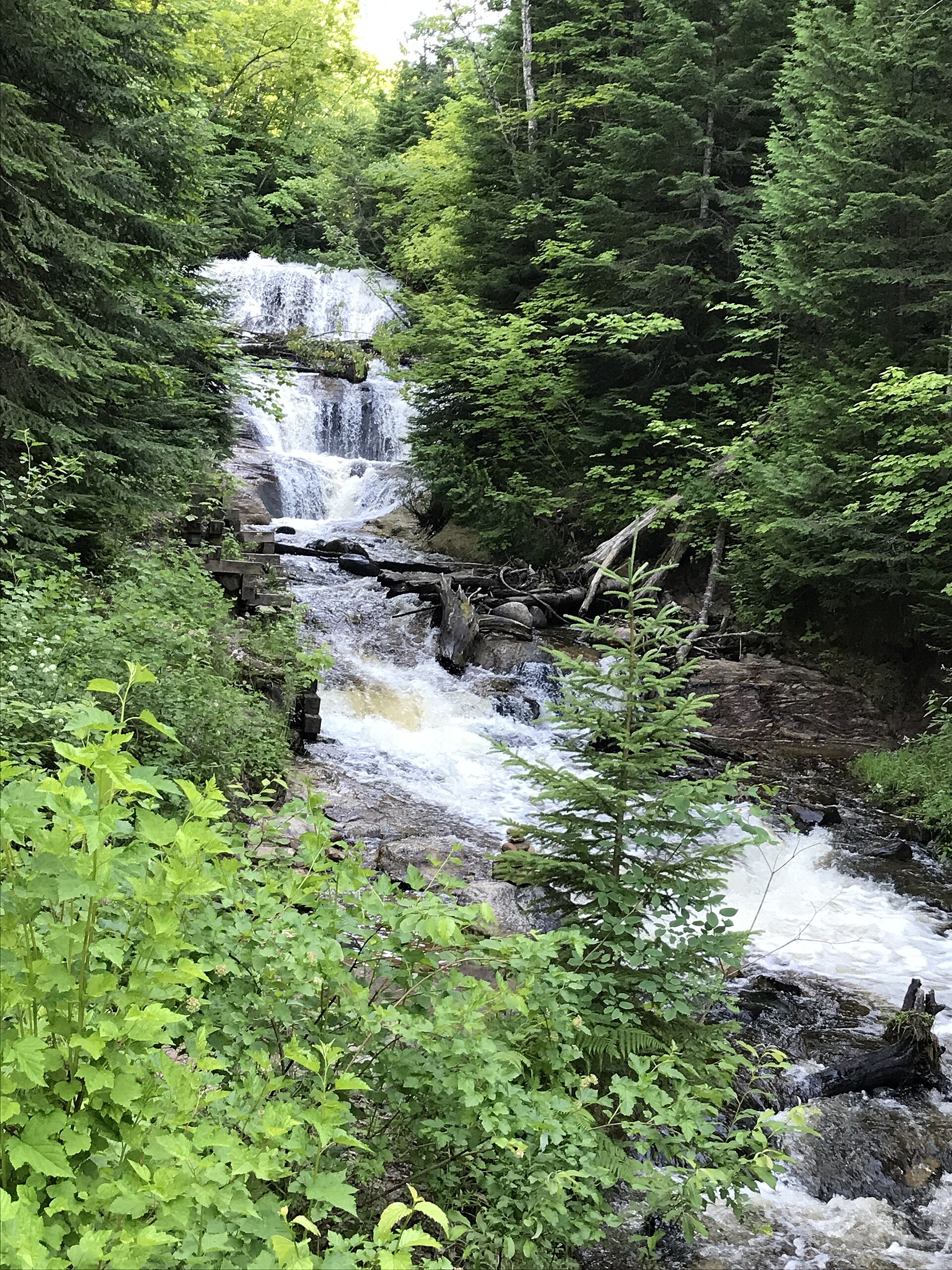
A mile west of the village on County Road H-58, Sable Falls drops seventy-five feet through a narrow sandstone gorge on its way to Lake Superior, and a stairway descends alongside the cascade to a beach at the outlet. It is one of the more efficiently rewarding waterfalls in a region that has no shortage of competition, requiring modest effort for a genuinely photogenic payoff, and the walk out to the shoreline at the bottom delivers a view back up the gorge that most visitors do not anticipate. The Grand Sable Visitor Center sits just beyond, providing orientation for the eastern half of the national lakeshore and serving as the logical first stop for anyone arriving without a firm plan.
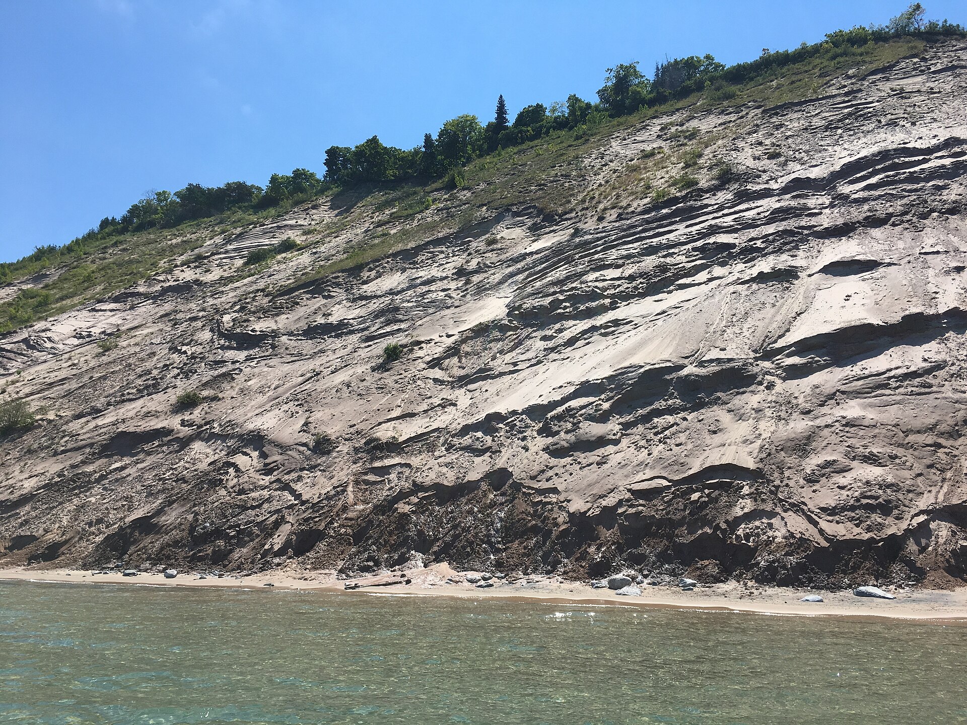
The Grand Sable Dunes are the eastern lakeshore's signature landform and a genuinely unusual one. These are perched dunes, sitting atop a high bank of glacial material rather than rising directly from the water, and a substantial portion is protected within the Grand Sable Dunes Research Natural Area roughly three and a half miles west of downtown Grand Marais. The scale is difficult to convey photographically — a rolling expanse of open sand elevated hundreds of feet above Lake Superior, with the water visible beyond and the dune grass shifting in a wind that rarely stops. Walking here demands sturdy footwear and a realistic assessment of fitness, as sand slopes punish the ambitious, and visitors should stay on established routes to avoid damaging the fragile vegetation that holds the whole system together.
The Log Slide and Au Sable Light
Seven miles from the village, the Log Slide Overlook marks a spot where nineteenth- and early twentieth-century loggers sent timber down the bank to the water below, a practice that gave the site its name and left a landform that now serves as one of the finest viewpoints on the southern shore of Lake Superior. From the top, the drop to the water is precipitous and the panorama extends along the dune-backed coast in both directions. The descent to the beach is possible but emphatically one-directional in terms of difficulty: going down takes minutes, and climbing back up through loose sand routinely takes an hour or more and defeats a meaningful share of those who attempt it. Park signage is blunt on this point, and it is not exaggerating.
The Au Sable Light Station, built in 1874, stands twelve miles from the village and requires a walk of about a mile and a half along the North Country Trail to reach — there is no road to the door. That inaccessibility is the point. The approach runs through forest and along the shoreline, and arriving on foot at a working nineteenth-century light station on a wild stretch of Superior coast produces an experience that a parking lot at the base would eliminate entirely. The trail is level and suitable for most walkers, but it is a genuine outing rather than a stroll, and it should be planned with weather, daylight, and water in mind.
Agate Beach and the Harbor Village
At the end of the day the village's social center relocates to Agate Beach, where the sunset over Lake Superior draws essentially everyone in town and where the shoreline has long been among the most popular rock-picking grounds in Michigan. Agate hunting is a genuine regional pastime rather than a tourist-office invention, and the beach here rewards patience, low sun angles, and a willingness to walk slowly with eyes down while the light does the work of separating banded stone from ordinary gravel. The nearby campground beach shares the same reputation, and the two together account for a substantial share of the village's warm-season visitors.
Grand Marais itself occupies a natural harbor — the name is French, and the sheltered water that suggested it remains the reason the settlement exists. The village is small enough to cross on foot in a few minutes and supports a modest cluster of lodging, dining, and provisioning that operates on strongly seasonal rhythms. Travelers should treat it as a base rather than a destination in its own right, stocking up before arrival and confirming that intended businesses are open in shoulder seasons. What the village offers instead of amenities is position: nearly everything described above lies within a fifteen-minute drive, which makes it an unusually efficient headquarters for exploring a national lakeshore's quieter half.