In This Guide
Point Iroquois Light The Museum and the Climb Brimley, Bay Mills, and the Scenic BywayWhitefish Bay is the last sheltered water a westbound vessel sees before committing to the open expanse of Lake Superior, and the point that divides the bay from the head of the St. Marys River has carried a light since the middle of the nineteenth century. Brimley, in Chippewa County, is the community nearest that point, and the drive west from the village along the Whitefish Bay Scenic Byway delivers one of the more rewarding lighthouse visits in the Upper Peninsula — a 65-foot tower that a visitor can actually climb, attached to a museum that occupies the keeper's quarters, all of it free to enter and set on a shoreline that looks out across the water toward the far side of the bay.
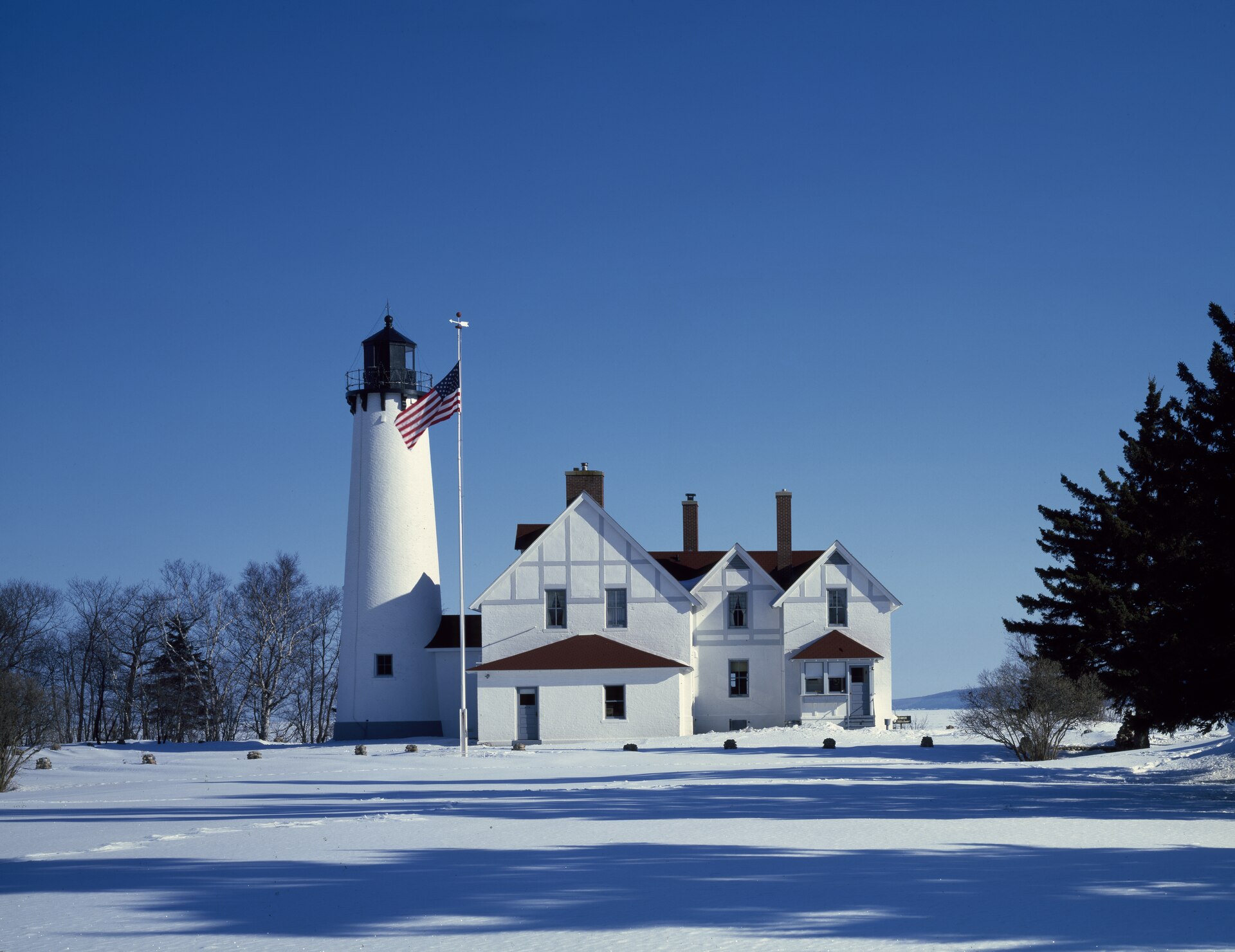
Point Iroquois Light
Point Iroquois Lighthouse stands a short drive northwest of Brimley along the Whitefish Bay Scenic Byway, in Bay Mills Township within the Hiawatha National Forest. The point marks the division between Whitefish Bay and the western end of the St. Marys River — the connection linking Lake Superior to the rest of the Great Lakes — which makes it a navigational boundary of real consequence rather than a merely scenic promontory. The current tower was constructed in 1870 and rises 65 feet, overlooking the bay and the open lake beyond it.
The site's name records something considerably darker than its present tranquility suggests: the point was named for Iroquois warriors killed there by the Ojibwe in 1662, a conflict that shaped control of the upper Great Lakes for generations afterward. Visitors standing on a quiet shoreline in summer are looking at ground with a long and contested history, and the interpretive material at the site does not shy from it. It is worth reading before climbing the tower rather than after, if only because the view means more with the history attached.
The Museum and the Climb
The Coast Guard decommissioned the light in 1962, and the Hiawatha National Forest assumed management of the site in 1965 — an arrangement that saved the structure at a moment when a great many redundant Great Lakes lights were simply abandoned. The Point Iroquois Lighthouse Museum opened in 1988, occupying renovated portions of the building alongside a bookstore and the former caretaker's quarters, and the whole complex is free to enter during operating hours, which is increasingly unusual among restored lighthouses.
The climb is 72 steps to the top of the tower, a manageable ascent for most visitors and one that pays out immediately: the view takes in Whitefish Bay, the shipping lanes, and the sweep of Lake Superior beyond. This is the same water that every vessel bound for Duluth or Thunder Bay must cross, and the same bay in which freighters have historically sheltered while waiting out weather on the open lake. Understanding the geography from the top of the tower makes the whole eastern Superior shoreline legible in a way that a map does not.
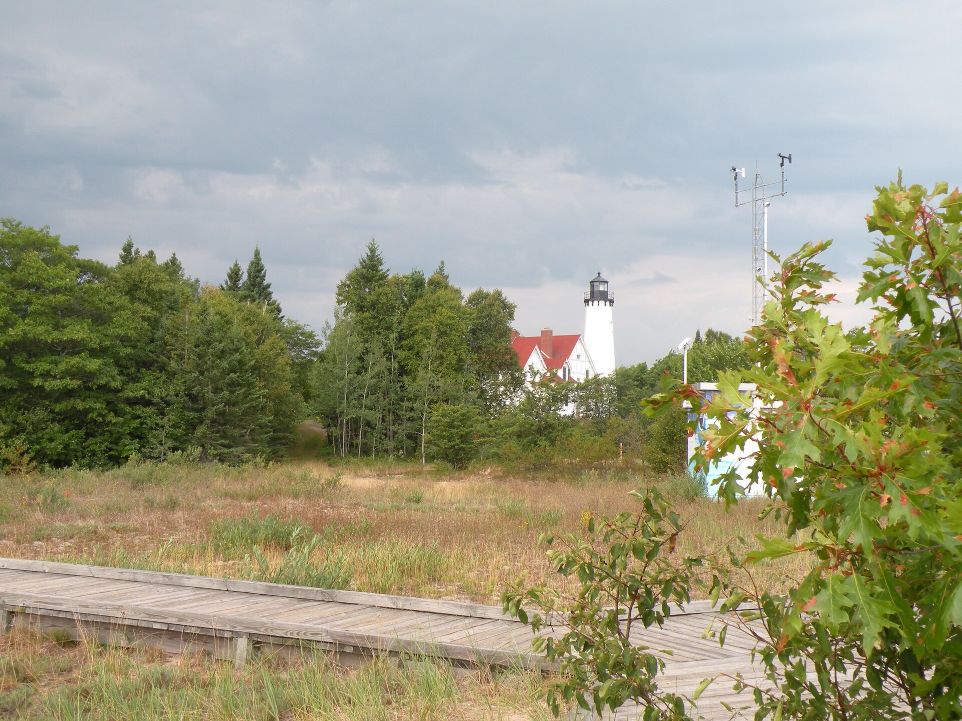
Brimley, Bay Mills, and the Scenic Byway
The Whitefish Bay Scenic Byway that carries visitors to the lighthouse is itself a substantial part of the appeal, running along the shoreline through Hiawatha National Forest land with regular access to the water. Brimley State Park provides the most straightforward shoreline access and camping near the village, offering warm-water swimming on Whitefish Bay that comes as a genuine surprise to travelers who associate Lake Superior exclusively with punishing cold — the bay's shallow, sheltered geometry moderates temperatures considerably compared with the open lake.
The surrounding area is the homeland of the Bay Mills Indian Community, and the region's Ojibwe history is not a historical footnote here but a continuing presence. Visitors interested in that history will find the interpretive material at Point Iroquois a starting point rather than a complete account. Sault Ste. Marie lies a short drive east, which makes Brimley an easy addition to any itinerary built around the Soo Locks, and the combination of locks, lighthouse, and shoreline byway fills a satisfying day without a great deal of driving.