In This Guide
One of the Five Great Military Roads Leaving Detroit Brighton, Howell, and the Plank Road Towns Lansing Portland, Ionia, and the Grand River Itself Grand Rapids and the Run to the Lake Muskegon How to Drive ItWoodward gets the attention, but Grand River Avenue is the road that actually crosses the state. It runs 210.643 miles from Cadillac Square in downtown Detroit to the car ferry docks in Muskegon, and for thirty-six years it was US-16. Then I-96 was built alongside it, the shields came down, and the whole thing quietly became the slower way to do a drive nobody does slowly anymore. That is precisely why it is worth doing.
One of the Five Great Military Roads
In 1825 Governor Lewis Cass designated five great military roads radiating from Detroit: River Road, Michigan Avenue, Woodward Avenue, Gratiot Avenue, and Grand River Avenue. Those five are still the bones of southeast Michigan's road network two hundred years later.
Grand River is usually described as following an old Native footpath, and that is the account you will see on most markers and in most books. It is worth knowing that the picture is more complicated than the plaques suggest: the modern road coincides with the documented Shiawassee Trail only for the first sixteen miles or so. What is firmly documented is that on October 7, 1825, citizens of the Michigan Territory petitioned Congress to survey and build a road from Detroit toward Shiawassee County following the Indian path as nearly as possible.
Around 1850 two plank roads were built along the corridor, the Detroit and Howell and the Howell and Lansing, which together made it possible to reach the capital from Detroit on boards. The route became US-16 on November 11, 1926, and stayed US-16 until 1962.
Leaving Detroit
The eastern end is Cadillac Square. From there Grand River runs northwest out of downtown at an angle that ignores the grid entirely, which is the most visible evidence that it predates the grid.
The first several miles pass through some of Detroit's most storied and most damaged neighborhoods, and the architecture along it, when it survives, is worth the slow drive. This is a working city street, not a heritage corridor, and it should be driven as one.
Beyond the city line it runs through Redford, Farmington, and Novi, where it is a suburban arterial. This section is the least rewarding part of the route and the easiest to skip by taking I-96 to Brighton and picking the old road up there.
Brighton, Howell, and the Plank Road Towns
Brighton and Howell are where Grand River becomes a road trip rather than a commute. Both are plank road towns whose main streets grew up facing this highway, and both have kept enough of their nineteenth-century downtowns to make the point.
Howell is the Livingston County seat and its courthouse square is the best single stop on the eastern half. The Howell Melon Festival in August is the local institution.
Between the towns the road runs through the lake country of Livingston County, which is genuinely pretty and completely invisible from the freeway a mile away.
Lansing
The plank roads existed to connect Detroit to the new capital, and Grand River still delivers you to it. Lansing was chosen over Marshall in 1847 specifically because it was in the middle of nowhere and defensible, and the state built a city around the decision.
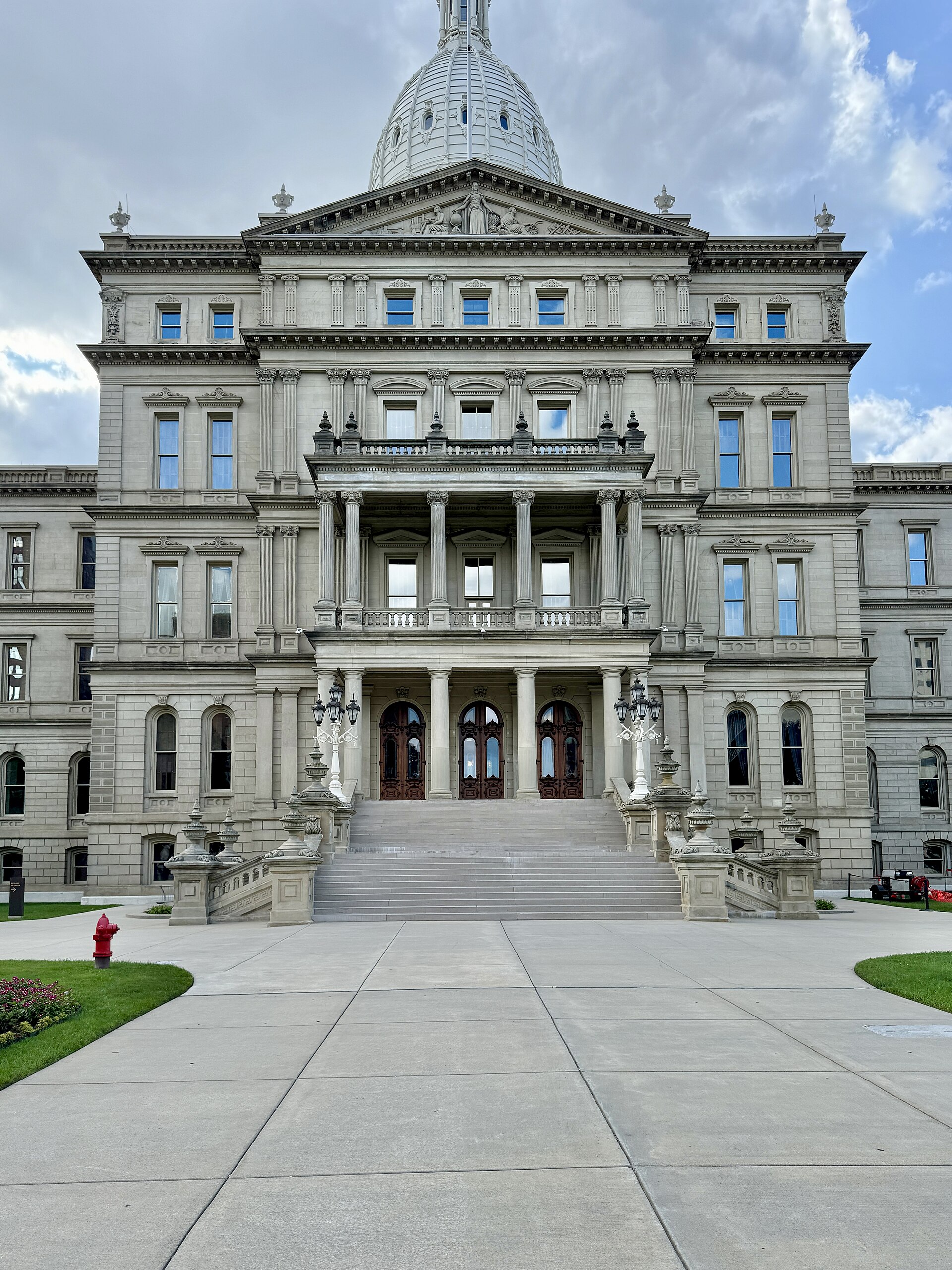
The State Capitol, the Michigan History Center, and the Impression 5 Science Center are all downtown and all within a short walk of one another. Michigan State University is immediately east in East Lansing, and Grand River Avenue is its main commercial street, which means the road you have been driving is also the address of half of college-town Michigan.
This is the natural overnight if you split the drive in two.
Portland, Ionia, and the Grand River Itself
West of Lansing the road finally starts following the river it is named for. Portland sits at the confluence of the Grand and the Looking Glass and has built a genuinely good riverwalk trail system around that fact.
Ionia is the next county seat and the site of the Ionia Free Fair, one of the largest county fairs in the state. The Ionia County Courthouse and the surrounding commercial blocks are the kind of intact nineteenth-century streetscape that this route keeps producing.
Lowell, further west, is the last of the river towns before Grand Rapids and has a covered bridge and a compact downtown on the Flat River.
Grand Rapids and the Run to the Lake
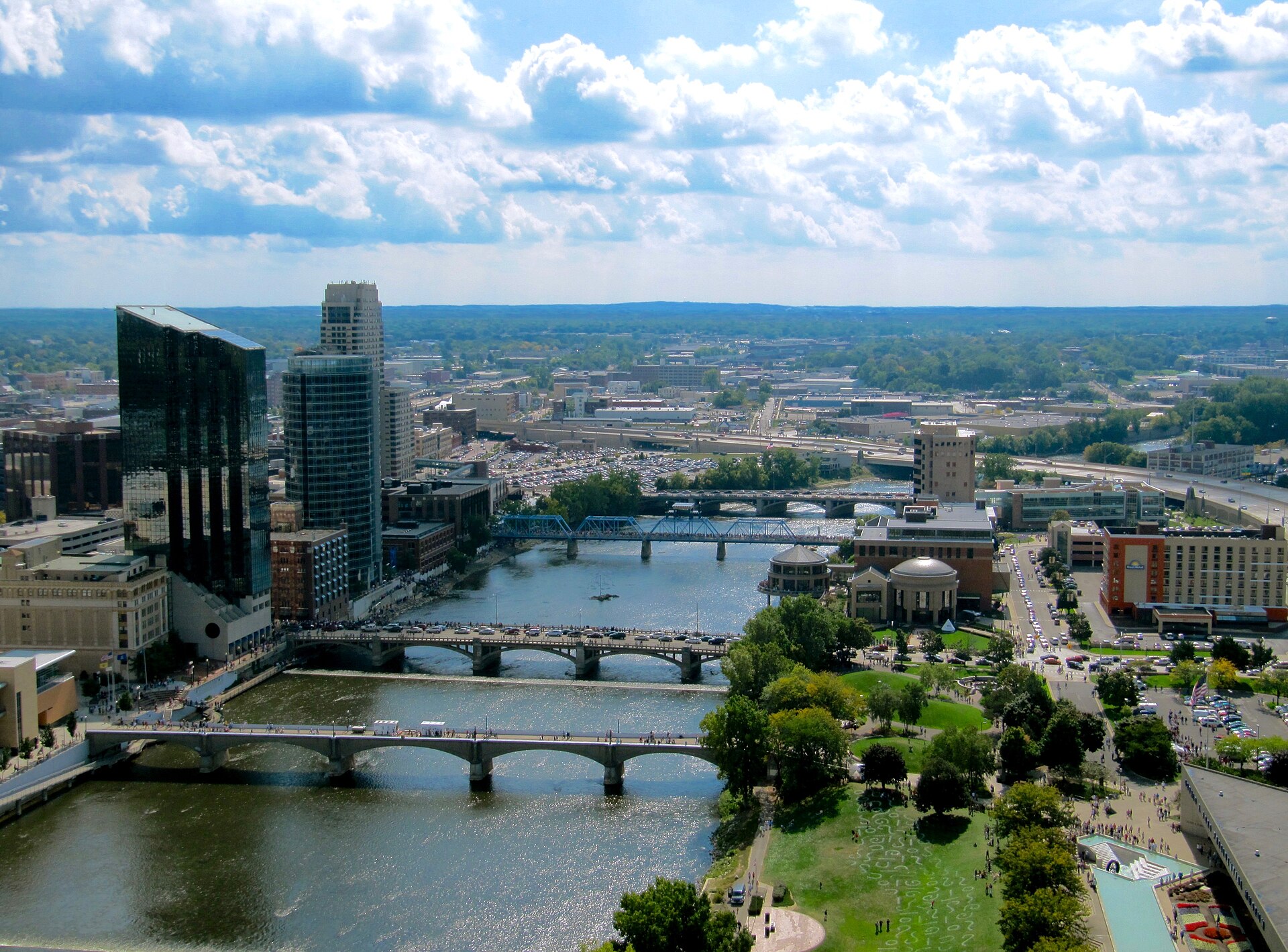
Grand Rapids is the second-largest city in Michigan and the halfway point in every sense. The Gerald R. Ford Presidential Museum sits on the west bank of the Grand, the Grand Rapids Art Museum and the public museum are downtown, and Frederik Meijer Gardens and Sculpture Park is southeast of the city.
West of Grand Rapids the historic alignment gives way in places to the I-96 corridor, running through Marne and Coopersville. Coopersville has a working tourist railroad and a small museum, and it is the last real stop before the lake.
The western terminus is Muskegon, at the car ferry docks. The SS Badger no longer sails from here, but the Lake Express high-speed ferry crosses to Milwaukee from Muskegon, so the road still ends where a boat leaves, which is the whole reason it ended there in the first place.
Muskegon
Muskegon is a legitimate destination rather than just a terminus. The USS Silversides Submarine Museum holds a World War II fleet submarine plus the Prohibition-era cutter USCGC McLane, and overnight stays aboard are possible.
Muskegon has roughly twenty-six miles of Lake Michigan beach and three state parks, which is the practical selling point: if one beach lot is full, another is ten minutes away. Michigan's Adventure, the state's largest amusement park, is just north.
From here the West Michigan Pike and the Lake Michigan Circle Tour both run north and south along the shore, so the end of one road trip is the beginning of two others.
How to Drive It
Two days. It is about four and a half hours of driving without stops, and the point of the exercise is the stops.
The honest recommendation is to skip the suburban middle. Drive Grand River out of downtown Detroit as far as Farmington for the history, then jump on I-96 and rejoin the old road at Brighton. From Brighton west you can stay on it the whole way and it stays interesting.
This route works in every season, which is not true of most drives in this series. Winter is fine, since it is all towns and farmland with no remote stretches, and the courthouse squares look better under snow.
It also crosses Woodward, Michigan Avenue, and Gratiot at their Detroit ends, so if you are working through Cass's five military roads, this is where they meet.