If US-131 is how western Michigan goes north, US-127 is how the middle of the state does it. The highway runs 212 miles within Michigan, entering from Ohio south of Hudson and ending at a partial interchange with I-75 south of Grayling, and it is the primary route connecting Lansing and central Michigan to the north and ultimately the Mackinac Bridge. It passes through the least-touristed third of the Lower Peninsula, which is either a drawback or the entire appeal depending on what a traveler is after.
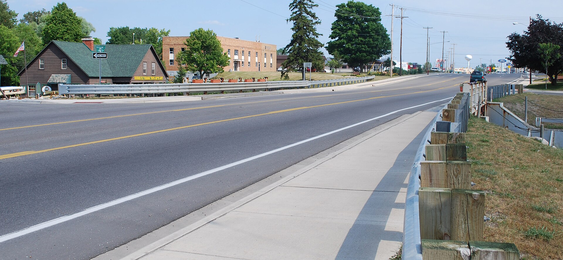
The Southern Approach
The highway enters Michigan from Ohio south of Hudson and runs north through the southern tier's farm country toward Jackson, where it crosses I-94 and meets the state's main east-west artery. Jackson deserves an exit: the Cascades is a built waterfall of sixteen falls and 230 colored lights dating to 1932, and the Irish Hills with Walker Tavern and the historic US-12 corridor lie a short distance south.
North of Jackson the route reaches Lansing, the state capital and the corridor's largest city, where US-127 becomes a freeway through the metropolitan area. This is the practical midpoint of the southern half and the last place with genuinely full urban services until the highway ends.
The Middle of the Mitten
North of Lansing the highway runs through St. Johns, Ithaca, and Alma into the geographic middle of the Lower Peninsula — the part of Michigan that vacation planning habitually skips. Mount Pleasant sits a short distance west, with the Ziibiwing Center interpreting Saginaw Chippewa history and the Chippewa River running through a substantial park system.
Clare marks the corridor's psychological boundary. The junction with US-10 here is a major one, and the town has long promoted itself as the gateway to the north — the point where the agricultural middle gives way to the forest and lake country. Whether the transition is quite that sharp is debatable, but the character of the drive does change above it.
Into the Northwoods
Above Clare the highway runs through Harrison and Houghton Lake, the latter sitting on the largest inland lake in Michigan. The Higgins Lake country lies just east, with the Civilian Conservation Corps Museum in North Higgins Lake State Park documenting the crews that planted 484 million trees across the state between 1933 and 1942 — much of the forest a traveler is now driving through.
The final stretch reaches Grayling and the Au Sable River headwaters, where the highway ends at I-75. Grayling is the launching point for the Au Sable, one of Michigan's great trout streams and the start of the 120-mile canoe marathon that finishes at Oscoda. Travelers continuing north join I-75 toward the Mackinac Bridge, which is what most US-127 traffic is ultimately doing.

Why Take It
The honest case for US-127 is efficiency and emptiness. It carries far less recreational traffic than US-131 or I-75, it runs through country where lodging is available at short notice and reasonable prices, and it gives access to a genuinely underrated middle band of the state — the Chippewa River, the mid-state lakes, and the CCC history that explains the northern forests.
What it does not offer is shoreline. A traveler wanting Great Lakes views should be on US-31 or US-23 instead. US-127 is for people crossing the state's interior, and for those willing to treat the interior as a destination rather than an obstacle it repays the attention. Autumn through the Clare-to-Grayling stretch is the corridor at its best.