In This Guide
What It Is How It Got Built The Hawk Migration Copper Harbor at the East End Eagle Harbor at the West End Practical Notes How to Fit It InBest Time to Go
April (hawk migration) through October; closed to cars in winter
Brockway becomes a snowmobile trail once the snow flies, so the summit views are strictly a warm-weather drive. April draws raptor-watchers timing their visit to the same Keweenaw hawk migration documented at nearby Whitefish Point; September and early October add fall color over Lake Superior.
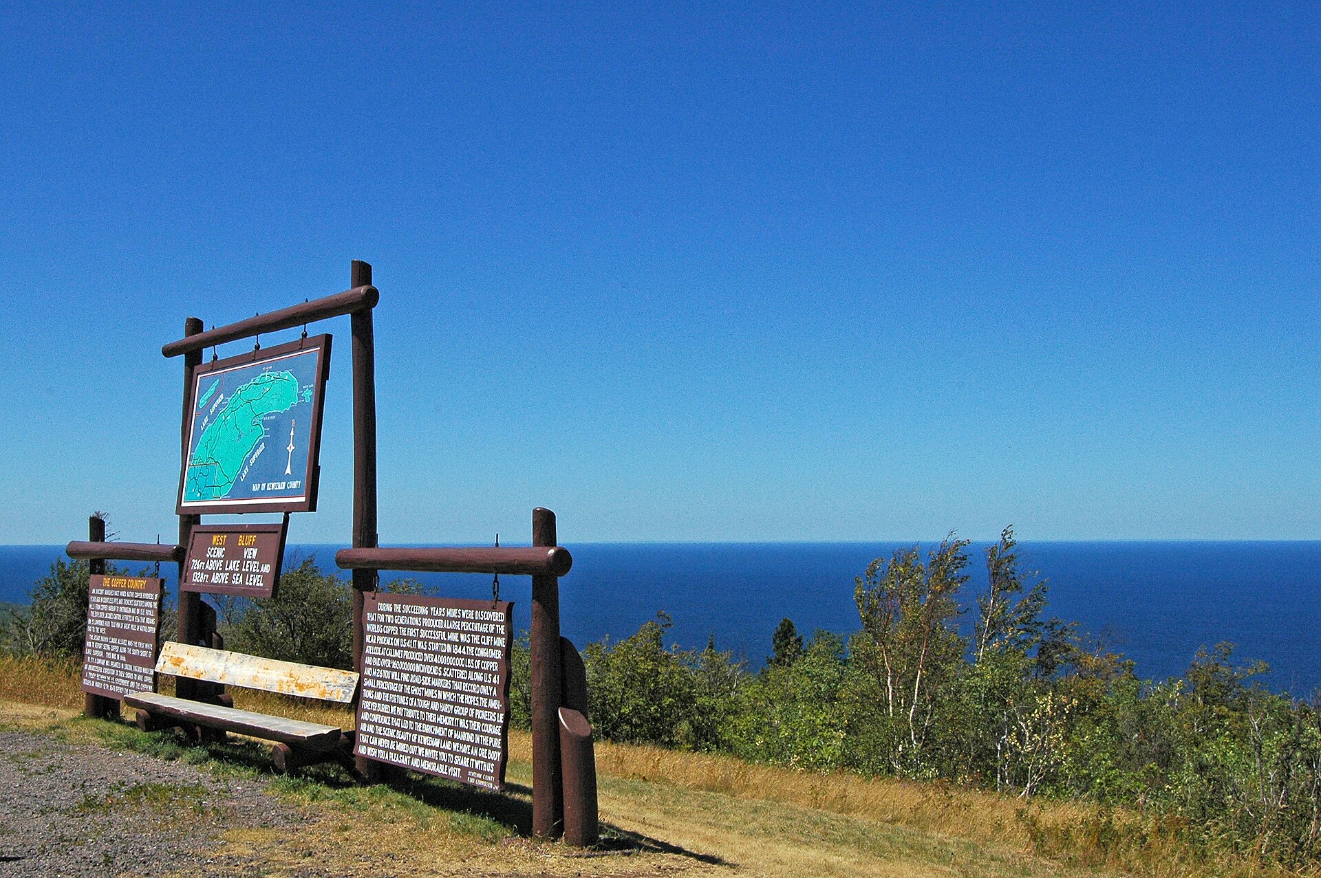
Eight and eight-tenths miles is not a road trip by most definitions. Brockway Mountain Drive is the exception, because those miles climb to a bare ridge 720 feet above Lake Superior with nothing in the way in any direction, and because in April the hawks of an entire peninsula funnel over the summit on their way across the lake. It is the finest short drive in Michigan and it costs you an hour.
What It Is
Brockway Mountain Drive runs 8.8 miles along a ridge west of Copper Harbor, at the tip of the Keweenaw Peninsula. It leaves M-26 at the west end of Copper Harbor, climbs to the summit, and comes back down to M-26 further west near Eagle Harbor, so it functions as a loop rather than an out-and-back.
The summit is 1,320 feet above sea level and 720 feet above the surface of Lake Superior. Travel writers have long described it as the highest scenic roadway above sea level between the Rockies and the Alleghenies. That claim is repeated widely enough to be part of the road's identity, and it is worth treating as a claim rather than a measured fact.
What is not in dispute is the view. The summit gives you 360 degrees over forest and open water, and on a genuinely clear day Isle Royale is visible roughly fifty miles out.
How It Got Built
The Keweenaw County Road Commission began construction in early 1933, using Depression-era work funding, and the road opened to traffic on October 14 of that year. It was finished on June 14, 1935.
It cost $40,000, which is on the order of $718,000 in 2024 money. For that sum a county with almost no population built a scenic highway along a ridgeline purely to give people something to look at, in the middle of the worst economic collapse in American history.
That is the part worth sitting with at the top. This road has no destination and serves no town. It exists because somebody in 1933 decided the view was a public asset.
The Hawk Migration
In spring, and especially in April, raptors migrating north up the Keweenaw reach the end of the peninsula and have to decide whether to cross Lake Superior. They gather along the cliffs and ridges of Brockway Mountain while they wait for the right conditions.
The result is one of the better raptor concentrations in the Great Lakes, and it happens directly above a parking lot. Broad-winged hawks, sharp-shinned hawks, red-tailed hawks, eagles, and falcons all move through.
The summit was designated part of the Keweenaw Coastal Wildlife Corridor in 2014, a protected area along the raptors' annual migration path. If you time a Keweenaw trip for April rather than July, this is the payoff, and you will have the road almost to yourself.
Copper Harbor at the East End
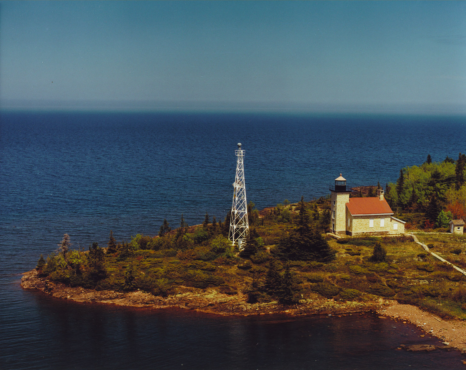
The drive begins and ends at the top of the Keweenaw, which means everything in Copper Harbor is attached to it. Fort Wilkins Historic State Park has living history in restored buildings, plus the Copper Harbor Lighthouse complex, which includes an 1848 keeper's dwelling and an 1866 light and is reachable only by boat since the road to it is closed.
Estivant Pines holds 570 acres of old-growth white pine, with trees over 125 feet tall and around 300 years old. It is a short walk from town and it is the closest thing in Michigan to a cathedral.
Copper Harbor also has more than forty miles of singletrack and is an IMBA Silver-Level Ride Center. The beginner trails run through Hunter's Point, Fort Wilkins, and the Lighthouse Overlook.
Eagle Harbor at the West End
Coming down the western end of the drive puts you back on M-26 near Eagle Harbor, which has a lighthouse, a museum complex, and a beach on Lake Superior that is as good as anything in the state and almost never busy.
M-26 between Eagle Harbor and Copper Harbor is itself a spectacular shoreline drive and is the obvious way to close the loop. Jacob's Falls is on that stretch, right beside the road, along with the Jampot bakery run by the monks of the Society of St. John.
Between the ridge and the shore you have two completely different roads covering the same twenty miles, which is why this works as a half-day rather than an hour.
Practical Notes
The road is closed to cars in winter. The Keweenaw County Road Commission does not plow it, and it becomes a snowmobile trail instead. Plan for roughly late spring through fall, and check locally in shoulder seasons.
There are no services on the drive. No fuel, no food, no water, and limited cell coverage. Copper Harbor is small and its businesses run seasonal hours, so fill up in Calumet or Houghton if you are running low.
The summit parking area is small and the road is narrow with real drop-offs and no guardrail in places. It is not technically difficult, but it is not a road to drive while looking at the view.
Go at sunset if you can manage only one trip up. Go at sunrise in April if you care about hawks.
How to Fit It In
Brockway Mountain is the last few miles of the Copper Country Trail, the 47-mile US-41 byway from the Portage Lake Lift Bridge at Houghton and Hancock to Copper Harbor. Almost nobody drives to Brockway without driving that first.
A good shape for the Keweenaw is three days: Houghton and Hancock with the Quincy Mine on day one, Calumet and the drive up US-41 on day two, and Copper Harbor with Brockway and the M-26 shore loop on day three.
If you have only one day at the top of the peninsula, do Brockway at either end of it. The light is better and the road is emptier, and it will be the thing you remember.