In This Guide
Standish to the Tawases Oscoda and the River Road Harrisville, Alpena, and Shipwreck Country Rogers City to Mackinaw City Why the Sunrise SideMichigan's western shoreline gets the sunsets and, with them, the crowds, the resort prices, and the summer traffic. The eastern shore gets the sunrises, and comparatively little else — which is precisely the argument for driving it. The stretch of US-23 north of Standish was designated the Sunrise Side Coastal Highway in May 2004 under what is now the Pure Michigan Byway program, and since 2009 the committee managing it has also used the name Huron Shores Heritage Route. Either way it describes the same 200 miles: Standish north along the Lake Huron shore to Mackinaw City, through a string of small towns, lighthouses, river mouths, and state parks that see a fraction of the visitation their western counterparts do.
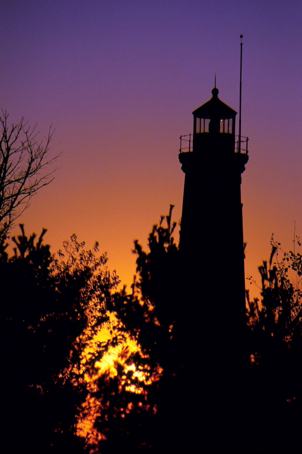
Standish to the Tawases
The byway begins at Standish, where US-23 splits from I-75 and commits to the coast, and the transition is immediate — the interstate continues north through the interior while the byway turns toward the water and largely stays there for the next two hundred miles. Au Gres comes early, a fishing town on Saginaw Bay, and the shoreline through this southern stretch is shallow, sandy, and warm by Great Lakes standards, with the bay moderating temperatures considerably compared with open Lake Huron further north.
Tawas City and East Tawas sit side by side around Tawas Bay and constitute the first substantial destination on the route. The pairing has been marketed as the Cape Cod of the Midwest, which is the sort of comparison that invites skepticism, but the shape of the thing — a curved bay, a point, a lighthouse, and two small towns sharing one harbor — makes the claim less absurd than it sounds. This is the natural first-night stop for travelers starting from the south.
Oscoda and the River Road
Oscoda sits at the mouth of the Au Sable River, and it is where the Sunrise Coast byway connects to the River Road National Scenic Byway — a designation that runs inland along the Au Sable and constitutes the single best detour available from US-23. The Au Sable is among Michigan's most storied rivers, a trout stream and canoe route with a long history, and the River Road follows it through the Huron National Forest with overlooks above the valley.
For travelers building an itinerary, this junction is the decision point that most shapes the trip. Staying on US-23 keeps the drive coastal and lighthouse-focused; turning inland at Oscoda trades the shoreline for river valley, forest, and considerably more elevation change than the Lower Peninsula usually offers. A trip with three days available can do both, running inland on the River Road and rejoining the coast further north.
Harrisville, Alpena, and Shipwreck Country
North of Oscoda the coast grows quieter still through Harrisville before reaching Alpena, the largest city on the route and the anchor of its most significant attraction. Thunder Bay National Marine Sanctuary protects roughly a hundred historic shipwrecks in the waters offshore, and the Great Lakes Maritime Heritage Center in downtown Alpena serves as its visitor center and shipwreck museum. Glass-bottom boat tours put the wrecks within reach of visitors who have no intention of diving, which makes this the rare maritime attraction that works for everyone in a car.
Alpena also marks the point where the shoreline character changes. South of here the coast is sandy and gentle; north of here limestone takes over, and the geology that produced the reefs responsible for so many of those shipwrecks becomes visible on land as well. Rockport State Recreation Area just north of the city is the clearest expression of it — an abandoned limestone quarry, a series of sinkholes, and fossil-bearing rock that visitors are permitted to collect from.
Rogers City to Mackinaw City
Rogers City sits beside the largest limestone quarry in the world, an operation of a scale that is difficult to grasp until seen — roughly 8,024 acres, about four miles long and a mile and a half wide, worked since 1912, with 150-ton haul trucks that look like toys against the pit walls. The rock itself is Devonian, on the order of 325 million years old, and it is richly fossil-bearing. The town's entire history is bound to it. The shoreline north from here toward Cheboygan is among the least developed on the route, with long stretches of state land and Lake Huron visible more or less continuously. This is the portion of the drive where the Sunrise Coast most fully delivers on its premise — very little traffic, very few towns, and a great deal of water.
Cheboygan provides the last substantial services before the finish and serves as the quiet doorway to Michigan's Inland Waterway, the chain of lakes and rivers running southwest toward Crooked Lake. From there US-23 completes its run at Mackinaw City, where the Mackinac Bridge dominates the horizon and the byway ends at the Straits. A traveler arriving here from Standish has driven the length of Michigan's Lake Huron coast, and the contrast between the empty limestone shoreline of the north and the bay beaches of the south makes the two hundred miles feel considerably longer than they are.
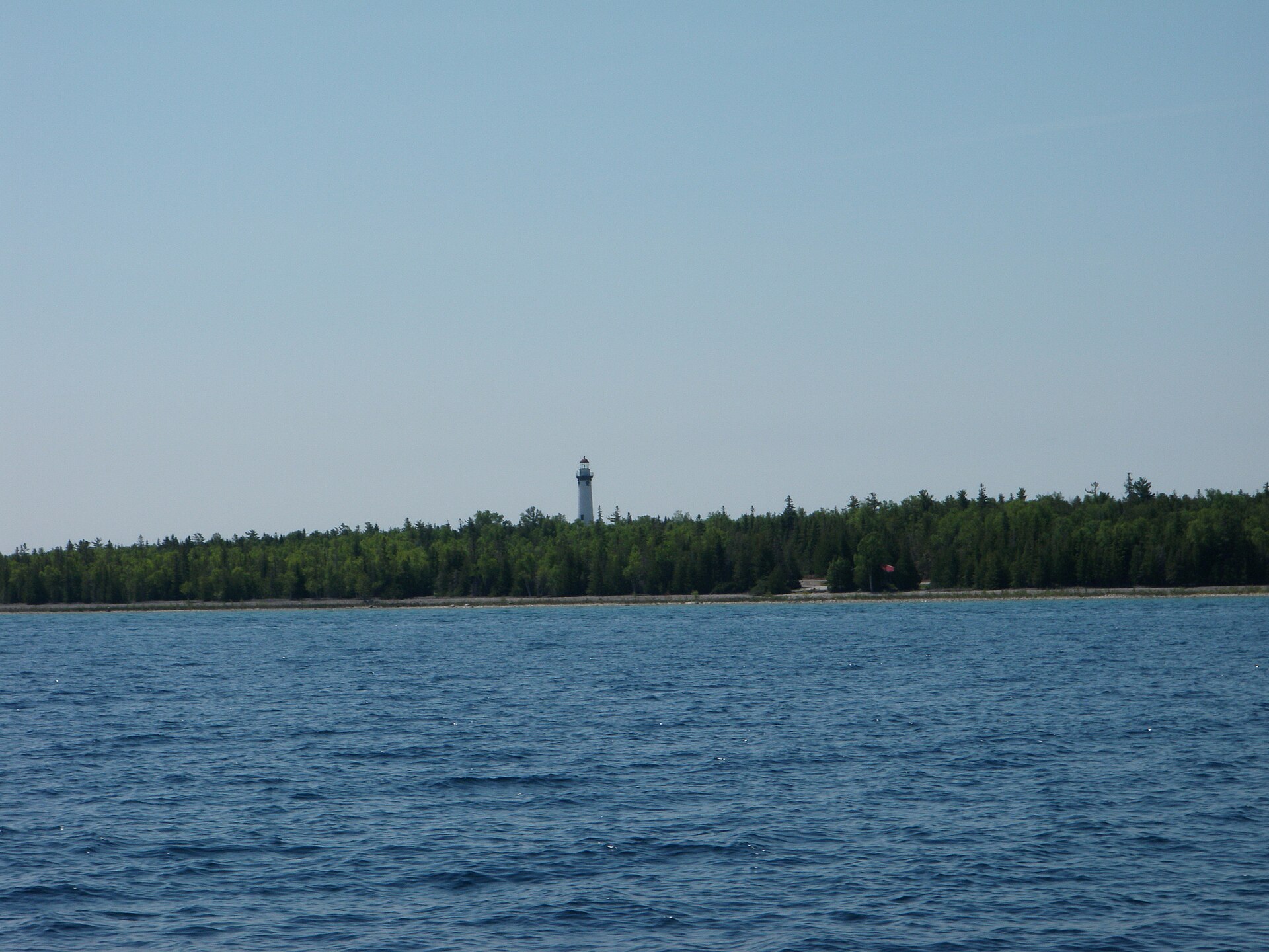
Why the Sunrise Side
The practical case for this route over Michigan's western shoreline is straightforward: it costs less, books more easily, and is far less crowded, while offering a comparable density of lighthouses, state parks, and small towns. The scenery is different rather than inferior — Lake Huron's eastern-facing coast lacks the dramatic dune systems of Lake Michigan but compensates with limestone geology, a genuinely significant shipwreck sanctuary, and sunrises over open water that the western shore cannot produce at all.
Timing is more flexible here than on the more popular routes. Summer is straightforward, fall color arrives through the inland forests along the River Road detour, and even peak-season weekends rarely produce the congestion that makes M-22 or the Tunnel of Trees difficult. Travelers who have done Michigan's marquee drives and found them crowded should treat the Sunrise Coast as the obvious next trip, and travelers making a first visit with limited tolerance for traffic should arguably start here.