In This Guide
The River Road Byway Lumberman's Monument Iargo Springs The Canoe Marathon Oscoda and the ShoreThe Au Sable River reaches Lake Huron at Oscoda, and for the last twenty-odd miles of its run a designated National Scenic Byway follows it through the Huron National Forest. That road is the reason to come. The River Road National Scenic Byway covers a little over twenty miles along M-65 and River Road, threading a river valley that was once the highway for Michigan's white pine — logs floated downstream from the interior forests to the sawmill towns waiting on the lake. What survives is a corridor of overlooks, interpretive sites, and a fourteen-foot bronze monument to the men who did that work, all within easy reach of a single base at the river's mouth.
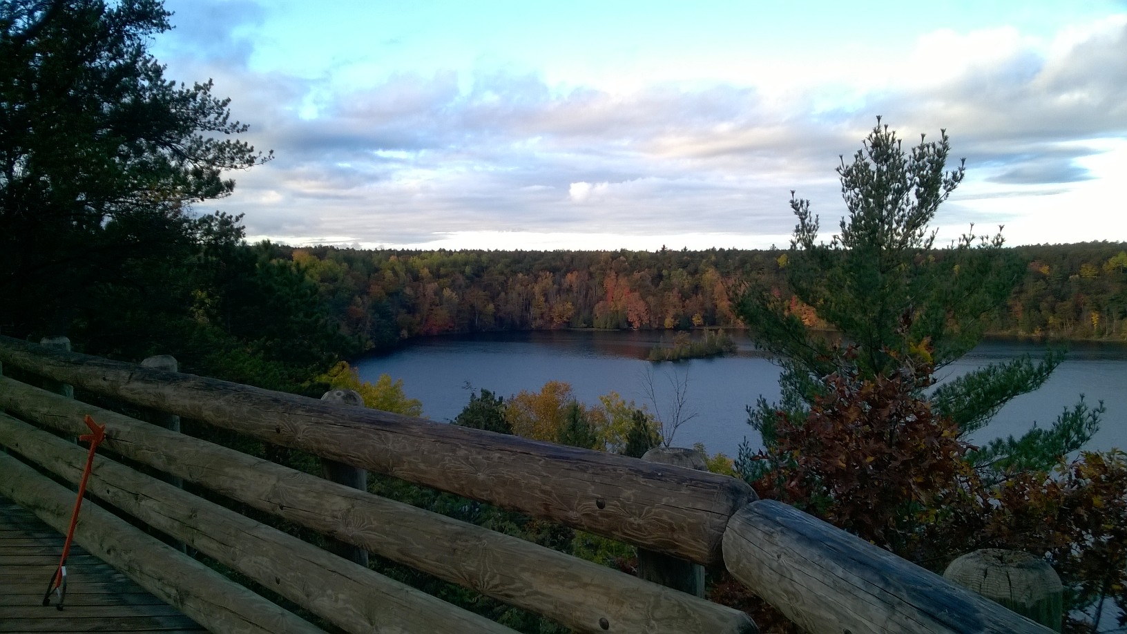
The River Road Byway
The byway runs a little over twenty miles, following M-65 and River Road eastward through the Huron National Forest from near Hale and finishing at Oscoda on the Lake Huron shore. It received National Scenic Byway designation in 2005. It parallels the Au Sable for essentially its entire length, and the road sits high enough above the valley in places to deliver genuine overlooks rather than the intermittent glimpses most river roads offer. It also connects directly to the US-23 Sunrise Coast byway at Oscoda, which means a traveler can combine a coastal drive with an inland river drive without backtracking.
The history under the route is the logging era. The Au Sable was a major transportation corridor for floating Michigan's giant white pine out of the interior forests down to the sawmill towns on Lake Huron, and the whole economy of this shoreline was built on that traffic. The forest visible today is second growth — the original pine is gone, cut within a few decades — and understanding that reframes the drive considerably. This is a recovered landscape rather than an untouched one.
Lumberman's Monument
Perched above the Au Sable River, the Lumberman's Monument is a fourteen-foot bronze dedicated in 1932 and honoring Michigan's logging past — three figures representing the men who cut, moved, and floated the pine. It is a genuinely striking piece of public sculpture in an unexpected setting, and the overlook it occupies is among the best viewpoints on the byway.
The visitor center alongside it is unusually good for families and considerably more hands-on than the monument suggests. Visitors can crawl through a reconstructed log jam, handle period logging tools, and walk down to a floating cookshack of the sort that fed river crews. The descent to the river involves a substantial stairway, which is worth knowing before committing children or anyone with mobility limits to the round trip — the climb back up is the harder half.
Iargo Springs
About eighteen miles west of Oscoda, the Iargo Springs Interpretive Site is the byway's other essential stop and its quietest. Springs emerge from the valley wall and run down to the Au Sable through a stand of cedar, and an outdoor education area with interpretive displays covers the history, geology, and plant and animal life of the river corridor. The setting is genuinely atmospheric — moss, running water, and filtered light — and it feels considerably older and wilder than a roadside stop has any right to.
Access is via a long stairway descending from the parking area to the springs and a boardwalk at the bottom. As with Lumberman's Monument, the stairs are the limiting factor rather than the distance, and visitors should assess honestly before starting down. Those who make it are rewarded with one of the more distinctive small places in northern Michigan, and the platform at the bottom looks out across the river valley.
The Canoe Marathon
The Au Sable River Canoe Marathon has run since 1947 and bills itself as one of the greatest canoe races on earth, which is less hyperbole than it sounds. Paddlers start at Grayling and finish 120 miles downstream at Oscoda, racing through the night in a continuous effort that ranks among the most demanding endurance events in North American paddling. The Canoer's Memorial along the byway honors those who have competed.
For visitors, the marathon transforms the area for its weekend each summer — spectators gather at bridges and access points through the night to watch boats pass under lights, and the finish at Oscoda draws a substantial crowd. Anyone planning a trip around it should book lodging far in advance; anyone hoping for a quiet river weekend should check the date and avoid it. The rest of the season, the Au Sable is a working recreational river with liveries, quiet stretches, and a trout reputation that long predates the race.
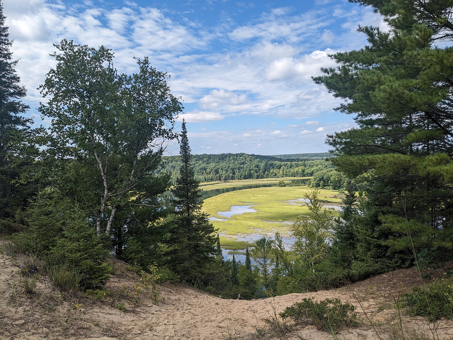
Oscoda and the Shore
Oscoda sits where the river meets Lake Huron and functions as the practical base for everything above, with lodging, dining, and outfitters supporting both the river and the beach. The town's position at the junction of two designated byways — River Road running inland, the Sunrise Coast running along the shore — makes it an unusually efficient headquarters for a region that would otherwise require moving between bases.
The seasonal pattern favors summer and early autumn. Summer brings the paddling, the beach, and the full operation of the liveries and interpretive sites; late September and early October bring hardwood color through the river valley, which is when the byway is at its genuine best and the overlooks earn their reputation. Winter closes most of the interpretive infrastructure but opens the surrounding national forest to skiing and snowmobiling, and the river valley under snow is a quieter version of the same landscape.