In This Guide
The Route in Segments Around the Thumb The Sunrise Coast The Bridge and the Eastern Upper Peninsula Driving ItOf Michigan's three Great Lakes circle tours, the Lake Huron route is the one that spends the most time on the state's least-visited coast. It enters at Port Huron, traces the entire outline of the Thumb, works around Saginaw Bay, runs the full length of the northeastern shore, crosses the Mackinac Bridge, and finishes through the eastern Upper Peninsula at Sault Ste. Marie. Along the way it absorbs two routes that are worth driving in their own right — M-25 around the Thumb and the US-23 Sunrise Coast byway — which makes it less a single trip than a spine connecting several.
The Route in Segments
The tour's Michigan portion assembles from four main pieces. It enters at Port Huron and follows M-25 — 147.6 miles — along the Lake Huron and Saginaw Bay shorelines around the entire Thumb to Bay City. At Bay City it leaves M-25 and turns north on M-13, running 73.3 miles toward Standish. Where M-13 ends at US-23 south of Standish, the route continues north on US-23, the 362-mile trunkline that carries it up the coast through Tawas City, Oscoda, Alpena, Rogers City, and Cheboygan.
At the northern terminus of US-23 in Mackinaw City, the tour joins I-75 across the Mackinac Bridge — sharing the span with the Lake Michigan Circle Tour, which crosses in the opposite direction — and then continues through the eastern Upper Peninsula to Sault Ste. Marie. Understanding this segmentation is genuinely useful, because it means a traveler can drive any one piece as a self-contained trip.
Around the Thumb
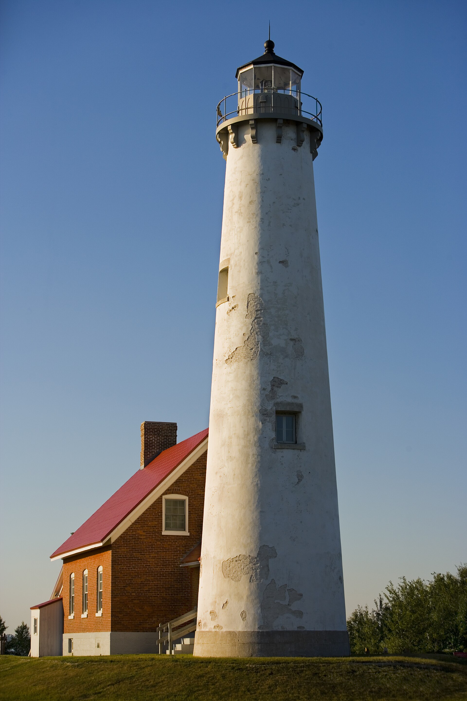
The M-25 portion is the tour's most distinctive stretch and the one least like anything else in Michigan. It traces the Thumb's whole outline, and the two halves differ sharply: the eastern Lake Huron side is rockier and more exposed, lined with lighthouses and roadside parks, while the Saginaw Bay side is sugar sand and shallow warm water. Port Huron anchors the south end with the Fort Gratiot Lighthouse, and Harbor Beach roughly halfway up claims what is described as the largest man-made freshwater harbor in the world.
At the tip sits Port Austin and Turnip Rock — a limestone pillar reachable only by water, since the surrounding shore is private, requiring a seven-mile round-trip paddle or a boat tour. Grindstone City nearby still has discarded grindstones lying along the shore from the industry that named it. This is the least expensive and least crowded shoreline driving in the Lower Peninsula.
The Sunrise Coast
North of Standish the tour follows US-23, and this stretch carries its own designation: the Sunrise Side Coastal Highway, named in May 2004 under what became the Pure Michigan Byway program and also known since 2009 as the Huron Shores Heritage Route. Two hundred miles of it run from Standish to Mackinaw City, and it is the eastern shore's answer to the far busier and more expensive Lake Michigan coast.
The highlights come in sequence. Tawas City and East Tawas share a bay and a point; Oscoda sits at the Au Sable River mouth where the River Road National Scenic Byway heads inland; Alpena anchors Thunder Bay National Marine Sanctuary, which protects roughly a hundred shipwrecks in water shallow enough to see from a glass-bottom boat; Rogers City sits beside the world's largest limestone quarry; and Cheboygan opens onto Michigan's Inland Waterway. Any one of these justifies a full day.
The Bridge and the Eastern Upper Peninsula
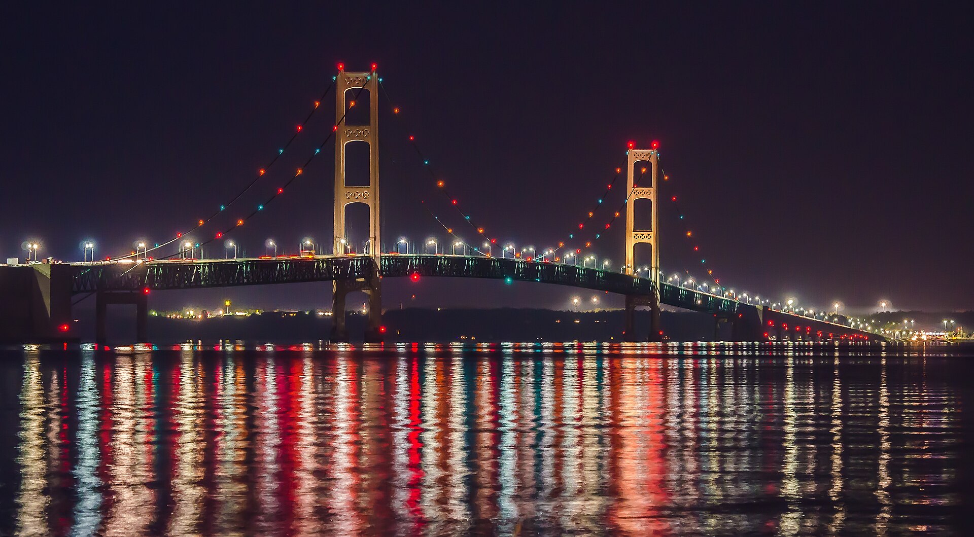
The Mackinac Bridge is the pivot, and crossing it northbound after several hundred miles of Lower Peninsula shoreline is the trip's emotional high point. St. Ignace sits on the far side, with ferries running to Mackinac Island — the car-free island whose 8.2-mile shoreline highway M-185 prohibits motor vehicles entirely, making it a worthwhile detour rather than a distraction.
From there the route works east through the eastern Upper Peninsula toward Sault Ste. Marie, passing near Les Cheneaux — thirty-six islands sheltering the water that hosts the largest antique wooden boat show in the United States each August — and finishing at the Soo Locks. Michigan's oldest city makes an appropriate terminus, with the locks, the Museum Ship Valley Camp, and the Tower of History concentrated within walking distance downtown.
Driving It
The full Michigan portion is a week at minimum and comfortable at ten days. The natural split is three trips rather than one: the Thumb via M-25, the Sunrise Coast via US-23, and the Straits-and-eastern-UP finish. Travelers who have already driven M-25 or the Sunrise Coast as standalone routes will find the circle tour largely redundant across those sections, which is worth knowing before committing.
As with the other circle tours, signage cannot be relied upon and the route should be built and saved offline in advance. The compensating advantage of this particular tour is cost: the Lake Huron shore is consistently cheaper and less crowded than the Lake Michigan side, lodging is available at shorter notice, and beach parking is rarely the problem it becomes on the west coast in July. For travelers who want a Great Lakes circumnavigation without resort-season prices, this is the one to drive.