Eleven miles of county road in the far western corner of the Upper Peninsula contain five named waterfalls, and each one has its own parking lot. That density is the entire argument for the Black River National Forest Scenic Byway — a route short enough to drive in twenty minutes and rich enough to fill a day, running north from the country outside Bessemer and Ironwood to where the Black River reaches Lake Superior at Black River Harbor. It was dedicated as a National Scenic Byway on September 19, 1992, and it remains the most efficient waterfall trip in Michigan.
The Route
The byway begins northwest of Bessemer at the intersection of County Road 204, also called Airport Road, and County Road 513, also called Black River Road, and runs eleven miles north to Black River Harbor. Coming from Ironwood, the approach is US-2 east, left onto Powderhorn Road, north until it meets CR 513, and left onto the byway. The entire road lies within Ironwood Township in Gogebic County.
It is worth understanding what kind of road this is. The byway is a county road rather than a state trunkline, maintained jointly by the Gogebic County Road Commission with assistance from the U.S. Forest Service — an arrangement that reflects its position running through Ottawa National Forest land. That status matters practically in shoulder seasons and winter, when maintenance priorities differ from those on a state highway.
The Five Waterfalls
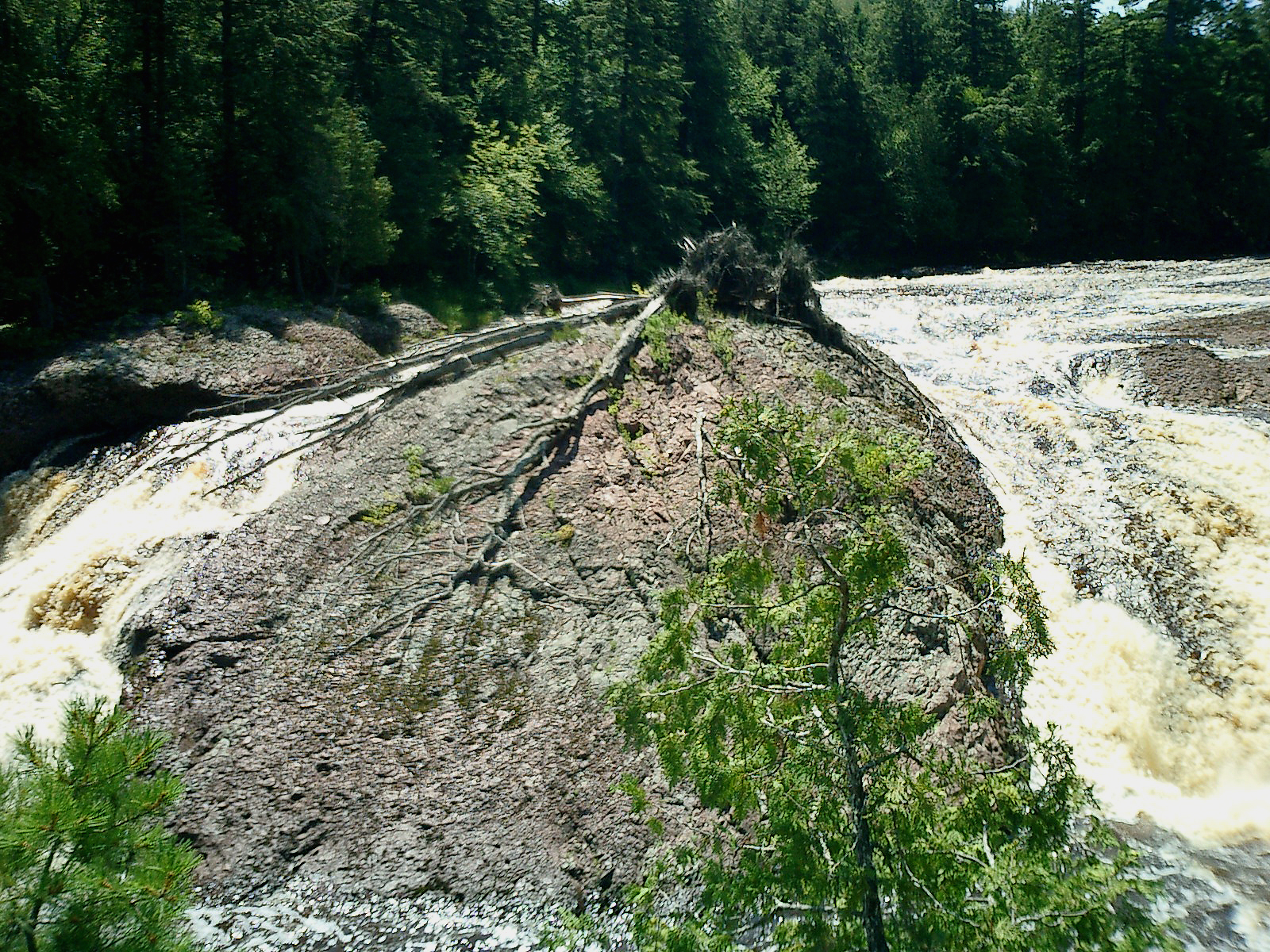
The falls come in sequence along the west side of the river: Great Conglomerate, Potawatomi, Gorge, Sandstone, and Rainbow. Each has a parking area directly off the byway, which is what makes this route so unusually productive — most Upper Peninsula waterfall trips involve substantial driving between widely separated sites, while here a visitor simply moves down the road stopping every mile or two.
The falls can be viewed from both sides of the river, though the byway itself runs along the west bank and the parking lots serve that side. Each requires a walk in from the lot, and the trails involve stairs and boardwalks descending toward the river — the effort varies by falls but none is trivial, and visitors planning to see all five should treat it as a genuine day of walking rather than a driving tour with brief stops. Sturdy footwear is not optional, and the descents are considerably easier than the climbs back.
Black River Harbor
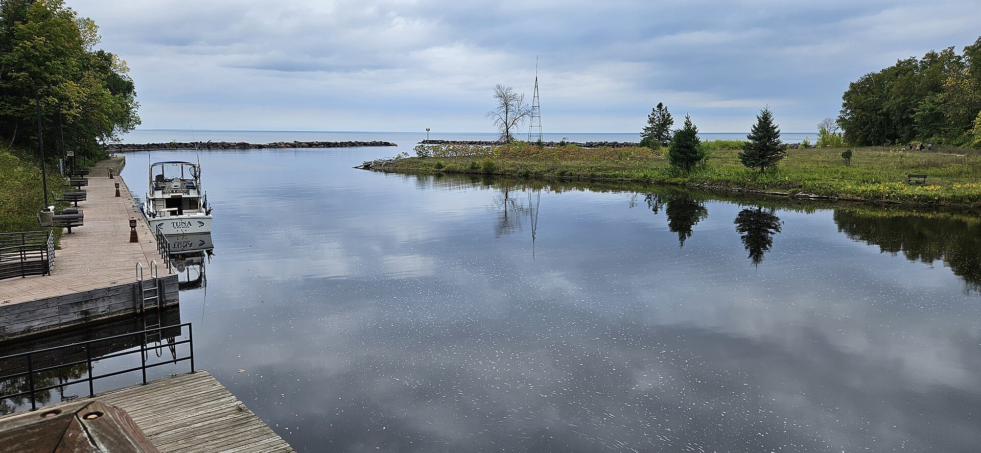
The byway ends where the Black River reaches Lake Superior at Black River Harbor, a Forest Service recreation area with a harbor, beach, picnic grounds, and campground. It is the only developed harbor along a long stretch of this coast, and reaching it after eleven miles of forest and waterfalls gives the drive a clean destination rather than simply petering out.
The harbor is also the point where the trip's character changes from river to lake. Lake Superior here is open, cold, and largely undeveloped in either direction, and the contrast with the enclosed river gorges a few miles inland is total. A suspension footbridge crosses the river near the harbor, connecting to trails along the shore for visitors who want to extend the day beyond the falls.
When to Drive It
Autumn is the celebrated season, and deservedly — the hardwood color through this valley is among the best in the state, and the combination of color and moving water is what fills the parking lots in late September and early October. Spring runoff produces the heaviest flow and the most dramatic falls, at the cost of muddy trails and lingering snow on the descents.
Summer is the easiest walking and the most comfortable conditions, though the falls run lower. Winter is a genuine consideration here in a way it is not on most byways: this is Big Snow Country, the lake-effect belt that receives on the order of two hundred inches a season, and the road and trails should not be attempted casually in the cold months. Whatever the season, Ironwood and Bessemer are the practical bases, and both sit close enough to make this an easy half-day or full-day outing.