In This Guide
The Western Cluster: Black River The Central Falls: Munising and Au Train The Pictured Rocks Falls The Eastern Finish: Tahquamenon Timing the RouteThe Upper Peninsula has more waterfalls than the rest of Michigan combined, and they are distributed across roughly three hundred miles of country with no single road connecting them. What follows is a route assembled to link the best of them from west to east — beginning with five falls in eleven miles near Ironwood and ending at the largest waterfall in the state near Paradise. It is a full week done properly, and it can be cut at either end without spoiling the trip.
The Western Cluster: Black River
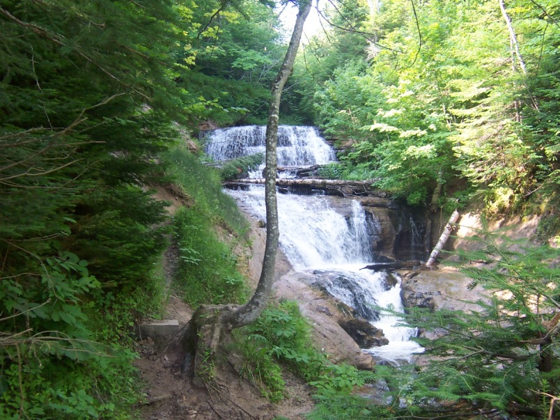
Start at the Black River National Forest Scenic Byway, eleven miles of county road running north from outside Bessemer to Black River Harbor on Lake Superior. Five named falls come in sequence along it — Great Conglomerate, Potawatomi, Gorge, Sandstone, and Rainbow — and each has its own parking area, which makes this the densest waterfall concentration anywhere in Michigan.
Each requires a walk in from the lot, with stairs and boardwalks descending toward the river, so seeing all five is a genuine day of walking rather than five quick stops. The byway was dedicated as a National Scenic Byway on September 19, 1992, and it finishes at a Forest Service harbor with a beach and campground where the river meets Lake Superior.
The Central Falls: Munising and Au Train
Moving east, the Munising area holds one of the highest concentrations of accessible falls in the peninsula, with several within minutes of town and more reachable on short walks. This is the practical base for the central portion of the route, and it doubles as the gateway to Pictured Rocks National Lakeshore.
A few miles west, the Au Train River produces two distinct drops — the Upper Au Train Falls at roughly forty feet and the Lower Falls at around ten, reached via County Highway 533 about twenty minutes southwest of Munising. They are associated with a hydroelectric operation, which means flow varies for reasons beyond recent rainfall, so spring runoff generally delivers the most dramatic conditions.
The Pictured Rocks Falls
Within the national lakeshore, Sable Falls drops seventy-five feet through a sandstone gorge a mile west of Grand Marais on County Road H-58, with a stairway descending alongside to a beach at the outlet. It is among the most efficiently rewarding falls in the region — modest effort, genuinely photogenic payoff, and a view back up the gorge from the shoreline that most visitors do not expect.
Grand Marais makes the natural overnight here, and the surrounding attractions justify staying: the Grand Sable Dunes, the Log Slide, the 1874 Au Sable Light Station reached by a mile-and-a-half walk on the North Country Trail, and Agate Beach for sunset. The eastern end of Pictured Rocks receives a fraction of Munising's visitation.
The Eastern Finish: Tahquamenon
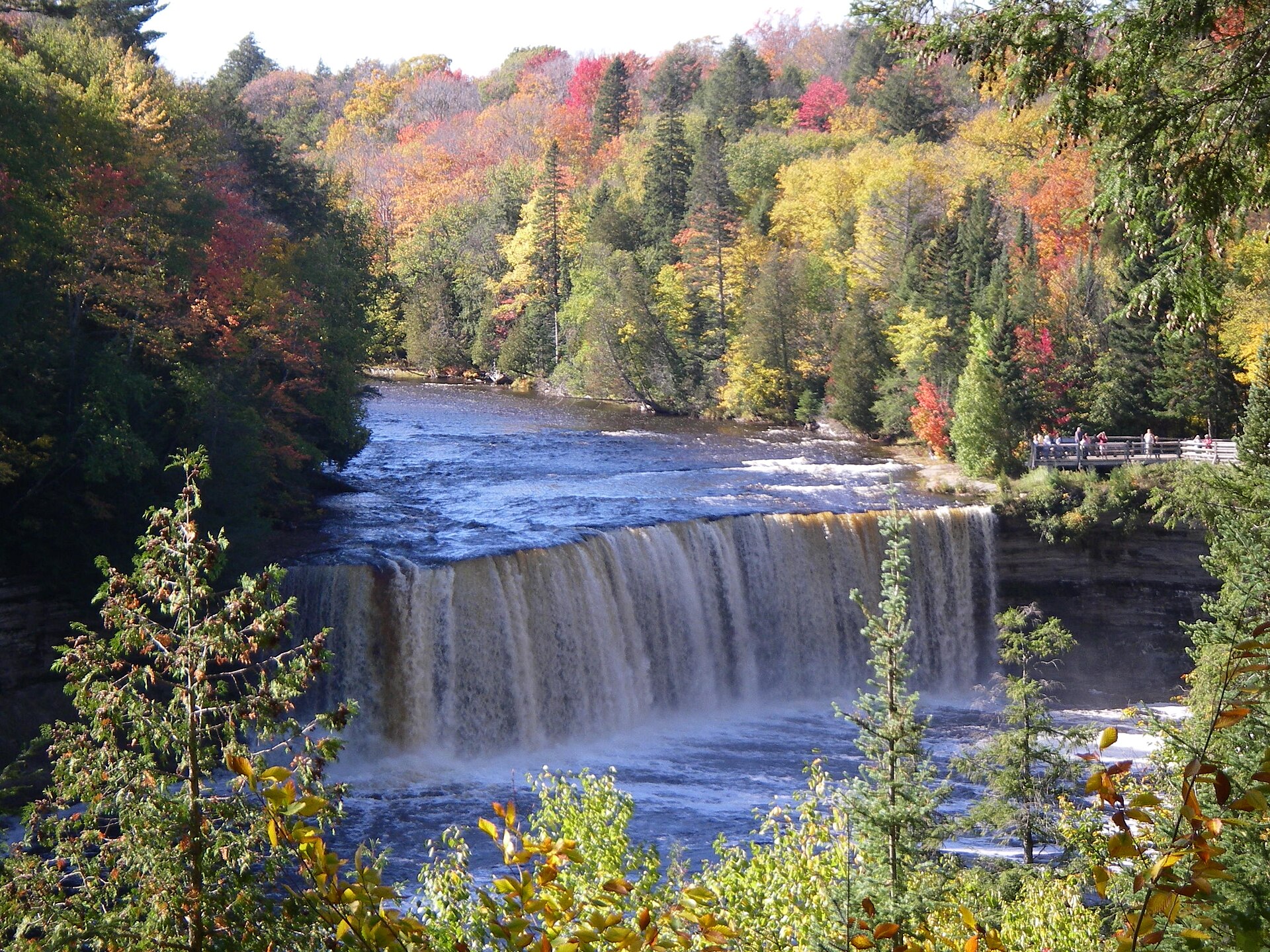
The route ends on M-123 at Tahquamenon Falls State Park. The Upper Falls is among the largest waterfalls east of the Mississippi — a wide, heavy, amber-colored sheet whose color comes from tannins leached out of upstream cedar swamps rather than from sediment. It is the single most impressive waterfall in Michigan and the logical climax of a west-to-east run.
The Lower Falls several miles downstream are gentler and more approachable, a series of cascades around an island where visitors can wade in places. The River Trail connects the two, and the state park operates modern campgrounds at the Lower Falls and at the Rivermouth. M-123 itself forms a 63-mile loop back to M-28, which conveniently returns a traveler toward the rest of the peninsula.
Timing the Route
Spring runoff produces the heaviest flow and the most dramatic falls, at the cost of mud, lingering snow on the descents, and black flies in the western half by late spring. Summer offers the easiest walking and most comfortable conditions with lower water. Autumn is the best compromise and the most photographed season, with hardwood color framing every one of these falls through late September and early October.
Winter deserves a mention rather than a dismissal. The Upper Tahquamenon partially frozen draws a dedicated following, and several of these falls are genuinely spectacular under ice — but this is serious snow country, trail descents become hazardous, and some access roads are not maintained. Travelers attempting a winter waterfall trip should be equipped for it and should check road status rather than assuming.