Drummond Island sits at the far eastern edge of Michigan's Upper Peninsula in Lake Huron, the largest of the state's Lake Huron islands and the second-largest island in Michigan overall behind only Lake Superior's Isle Royale, reachable only by ferry across the narrow channel separating it from the mainland. The island's genuinely unusual claim to historical fame has nothing to do with its natural scenery and everything to do with an accident of nineteenth-century international boundary-drawing that left a British military garrison stranded on what would soon become unambiguously American ground.
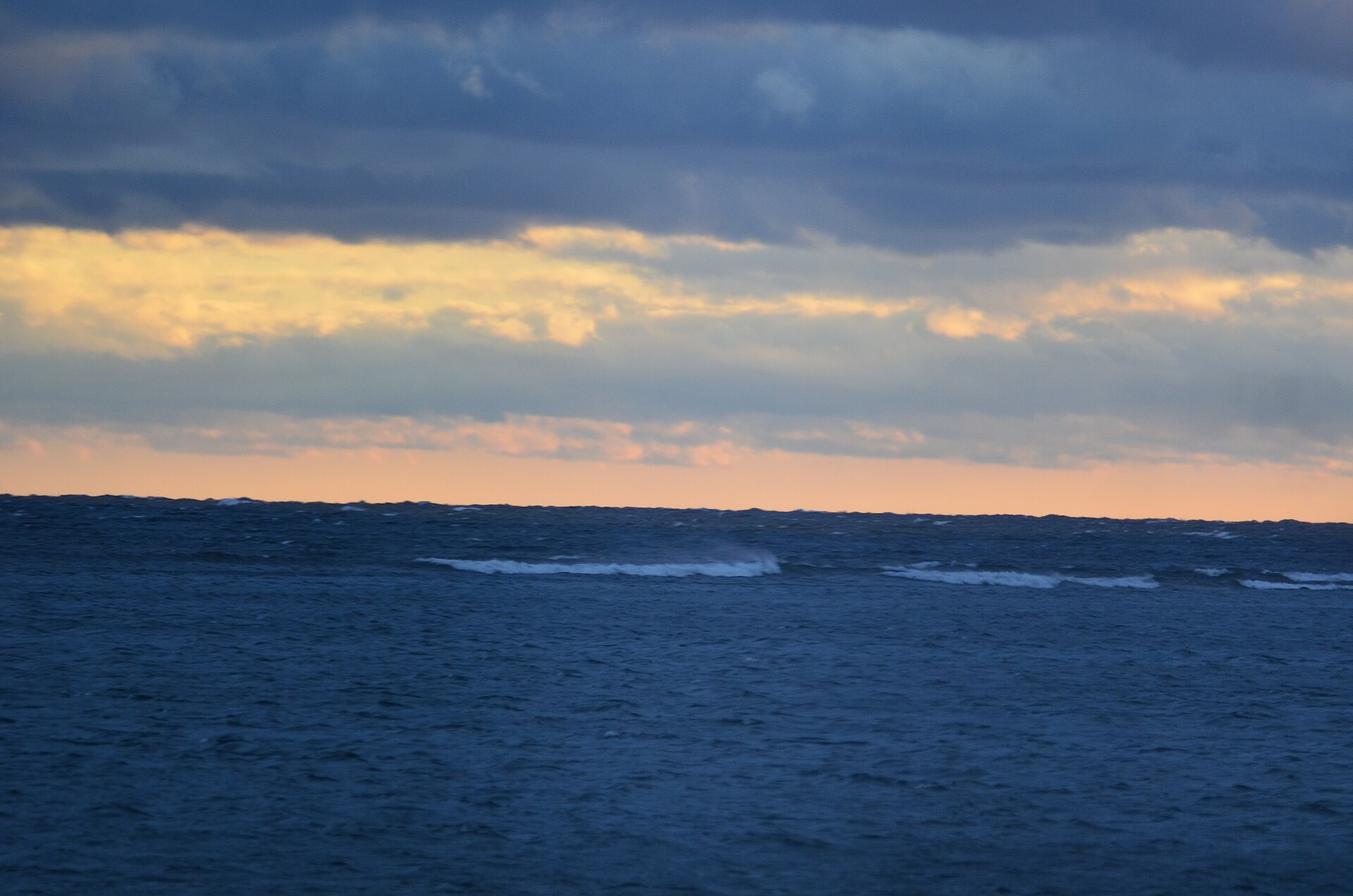
The Line That Almost Wasn't Drawn Here
British explorer David Thompson led survey efforts beginning in 1820 to map the scattering of islands dotting Lake Huron's northern reaches, work that needed to resolve exactly where the international boundary between the United States and British Canada would run through a genuinely confusing cluster of islands near the lake's northern channel. Surveyors ultimately agreed in late 1821 that neighboring St. Joseph Island and Cockburn Island would go to Canada, while Drummond Island, sitting between them, would become American territory, a boundary decision that could easily have gone the other way given how closely clustered the islands actually sit.
That decision meant Drummond Island, despite its position deep among otherwise Canadian-controlled islands, has belonged to the United States and to Michigan specifically ever since, giving the island a slightly unusual geographic character: American soil surrounded on multiple sides by significantly closer Canadian territory.
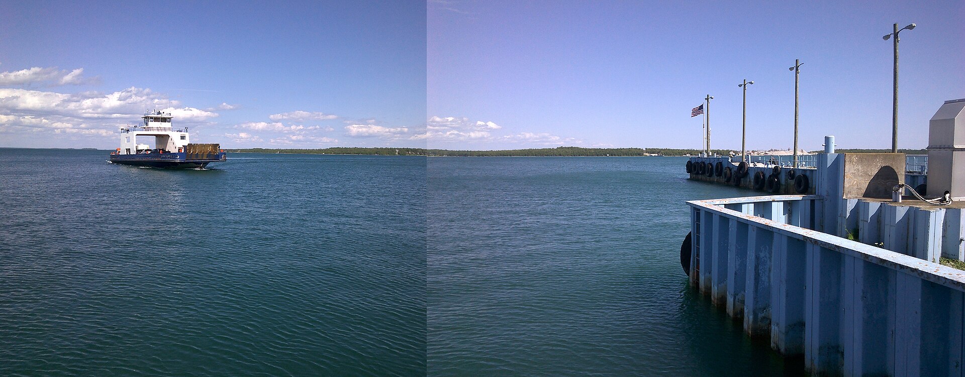
Fort Drummond's Last Stand
Fort Drummond, also remembered as Fort Colyer or Fort Collier, occupied the island's west end on Whitney Bay as a British military and civilian outpost established after the War of 1812, and it holds the genuinely singular distinction of being the only known British military and civilian settlement ever established on American soil following that war's conclusion. British forces held the position as their very last outpost anywhere on American territory, finally handing the fort over in 1828 once the international boundary determination left no remaining ambiguity about which nation actually controlled the ground beneath it.
That lingering British presence, essentially a garrison waiting out a boundary dispute on land it no longer legally controlled, gives Drummond Island a genuinely unusual footnote in the broader history of American-British relations following the War of 1812, a small but concrete reminder of just how unsettled the exact US-Canada border through these Lake Huron islands remained for years after the war itself had formally ended.