In This Guide
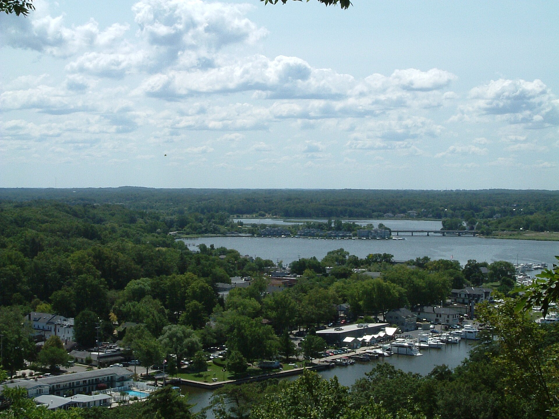
Why It Is Called That What Happened to US-31 The Fruit Belt The Southern End South Haven Saugatuck and Douglas Holland at the Top How to Drive ItFor about forty miles between Lake Michigan Beach and Holland, an old two-lane runs parallel to I-196 through orchards, vineyards, dune country, and a string of harbor towns. It was US-31 until the freeway opened, and when the shields came down it kept the name it had been given in 1948: Blue Star Highway, a memorial to the American armed forces. It is now the best slow road on the southwest Michigan shore.
Why It Is Called That
The Blue Star Memorial Highway program was created in 1945 by what was then the National Council of State Garden Clubs, now National Garden Clubs, to honor the men and women of the American armed forces. The idea came out of a 1944 project in New Jersey, where garden clubs planted roughly 8,000 dogwoods along five and a half miles of US-22 as a living war memorial.
The blue star itself was taken from the service flag: during the Second World War, a family with a son or daughter in uniform hung a flag with a blue star in the window. The program turned that private symbol into a public one along thousands of miles of American highway.
Michigan's stretch received the designation on October 10, 1948. The name outlasted the route number, which is unusual and rather fitting.
What Happened to US-31
Blue Star Highway carried US-31 along the lakeshore until I-196 was built. The freeway segment through this area was completed in 1963, US-31 was moved onto it, the old shields came down, and the road was returned to county control and taken off the state highway maps.
For seven years it had a name and no number. The A-2 county route designation was created in 1970 after motel owners along the corridor pushed for signage that would help travelers find them again, which is a small and very human piece of road history.
Today A-2 runs 41.609 miles through Berrien, Van Buren, and Allegan counties, from M-63 near Lake Michigan Beach north to an interchange with Business Loop I-196 and US-31 in Holland.
The Fruit Belt
The reason this corridor exists as farmland is Lake Michigan. The lake moderates temperature enough to delay spring budding and extend fall, which creates a narrow band along the shore where fruit grows that has no business growing at this latitude.
The practical consequence for a traveler is roadside stands. Between June and October the highway produces strawberries, cherries, blueberries, peaches, apples, and cider in roughly that order, and the stands are family operations rather than agritourism productions.
Blueberries are the signature crop here, and South Haven's National Blueberry Festival in August is the corridor's biggest single event.
The Southern End
Starting at M-63 near Lake Michigan Beach puts you just north of St. Joseph and Benton Harbor, which are worth a morning before you begin. Silver Beach and the carousel are in St. Joseph, and the bluff over the harbor is one of the better viewpoints on the lake.
Heading north, the road runs through Coloma and Hagar Township, where the orchards start in earnest. This is also the heart of the Lake Michigan Shore wine region, and tasting rooms are scattered on and just off the highway.
The dunes begin here too. Van Buren State Park sits on the shore south of South Haven with a campground and a wide beach behind a dune ridge.
South Haven
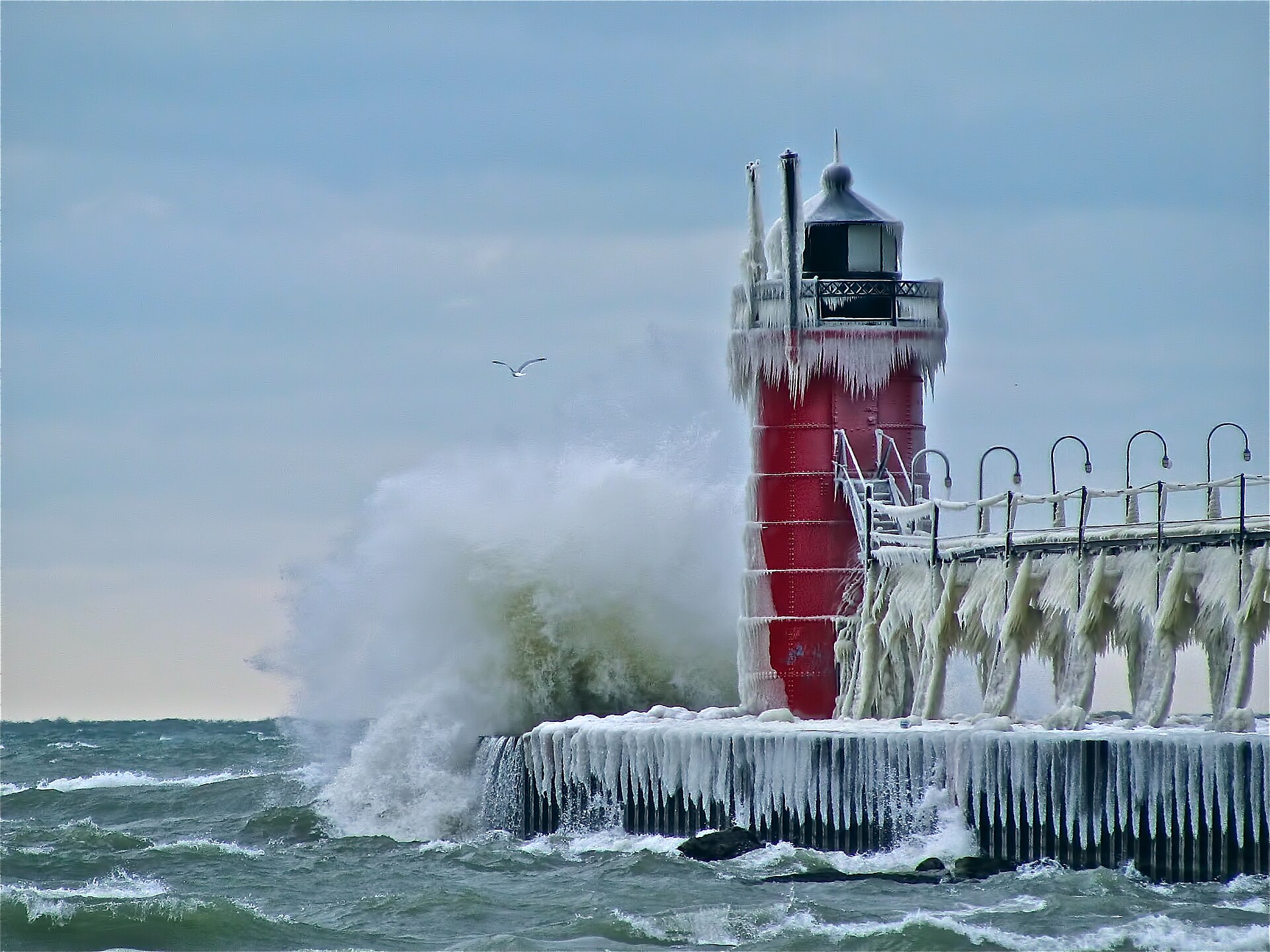
South Haven is the anchor of the southern half. It has a working harbor, a pair of piers, a red lighthouse at the end of the south pier that is the most photographed object in the county, and a downtown built for walking.
The Michigan Maritime Museum is on the river in town and operates sailing vessels for public trips. The Kal-Haven Trail runs east from South Haven to Kalamazoo on an old rail grade, giving you a serious bike option without leaving town.
North Beach and South Beach are on either side of the harbor mouth and both are genuine Lake Michigan sand. This is the natural overnight stop.
Saugatuck and Douglas
The northern half of the route belongs to Saugatuck and Douglas, the Art Coast. The chain ferry across the Kalamazoo is the last hand-cranked chain ferry in the United States and costs a few dollars cash for a one-way crossing.
Mount Baldhead is 302 steps up, with a 1950s Cold War radar tower at the top and Oval Beach on the far side. Saugatuck Dunes State Park covers roughly a thousand acres with about two and a half miles of shoreline and thirteen miles of trail; the shortest way to the water is the three-quarter-mile Beach Trail. The Saugatuck Dune Rides have been running since 1954.
Douglas is quieter and has the better small-scale dining. Between the two towns this is the densest concentration of galleries, restaurants, and lodging on the whole route.
Holland at the Top
The northern terminus is Holland, which is a genuine Dutch-founded city rather than a theme and treats the fact seriously. Tulip Time in early May is one of the largest festivals in Michigan and turns the whole corridor into a traffic problem, which is either the reason to come or the week to avoid.
Holland State Park and Big Red, the lighthouse at the channel entrance, are west of downtown at Lake Macatawa's outlet. Windmill Island Gardens holds De Zwaan, an actual working Dutch windmill moved from the Netherlands.
From Holland, US-31 and the West Michigan Pike carry on north toward Grand Haven, Muskegon, and eventually Ludington and Traverse City. Blue Star is the southern overture to that whole coast.
How to Drive It
One long day or two easy ones. Forty-one miles is nothing; the towns are the trip. If you do it in a day you will see the road, and if you do it in two you will see the shore.
South to north is the better direction because Saugatuck and Holland are the strongest stops and belong at the end. It also means the lake is on your left the entire way, which matters for the pull-offs.
Late summer is the sweet spot: the water is warm, the blueberries and peaches are both in, and the crowds thin after mid-August. Tulip Time in early May and the Blueberry Festival in August are the two dates that will change your lodging costs.
One caution worth stating plainly. Because the road parallels I-196 and the freeway is faster, drivers frequently use Blue Star as a shortcut at speed. It is a two-lane through small towns with beach traffic crossing it. Drive it as the slow road it is meant to be.