In This Guide
What the Route Actually Is The Signage Problem The Western Shoreline Across the Straits and the Upper Peninsula Planning a Realistic TripIt is possible to drive entirely around Lake Michigan, and a designated route exists to do it — the Lake Michigan Circle Tour, running through four states and crossing the Mackinac Bridge on its way. Michigan carries by far the largest share: 631 miles, entering from Indiana southwest of New Buffalo, running the full length of the state's western shoreline, crossing into the Upper Peninsula at the Straits, and heading west and then southwest to Menominee before continuing into Wisconsin. It is the most ambitious road trip Michigan offers, and the single most important thing to know before attempting it is that the signage cannot be relied upon.
What the Route Actually Is
The Lake Michigan Circle Tour is not a single highway but a designated linking of existing state and federal roads that together trace the lake's perimeter. In Michigan it enters from Indiana southwest of New Buffalo, follows the western shoreline north through the beach towns and dune country, crosses the Mackinac Bridge — sharing that span with the Lake Huron Circle Tour — and then turns west from St. Ignace across the Upper Peninsula before bending southwest to Menominee and the Wisconsin line.
Across the four states the mileage divides very unevenly. Michigan's 631 miles dwarf the other shares: Indiana carries about 46 miles, Illinois roughly 65 along US-41, and Wisconsin distributes its portion across several highways including WI-32, US-41, and WI-42. That imbalance is worth understanding when planning, because a full circumnavigation is overwhelmingly a Michigan trip with three shorter states attached.
The Signage Problem
This is the practical warning that shapes everything else. Circle Tour signage is inconsistent to the point of unreliability: Wisconsin has generally kept its portion reasonably well posted, but signage in Michigan and Illinois is lacking, and long segments in Indiana are now completely unsigned. A traveler who plans to navigate by following green Circle Tour markers will lose the route repeatedly.
The fix is straightforward but must be done in advance. Build the route in a mapping application before departing, save it offline for the stretches where coverage thins — particularly across the Upper Peninsula — and treat the physical signs as confirmation rather than as navigation. Anyone attempting this trip on signage alone is planning a series of wrong turns rather than a road trip.
The Western Shoreline
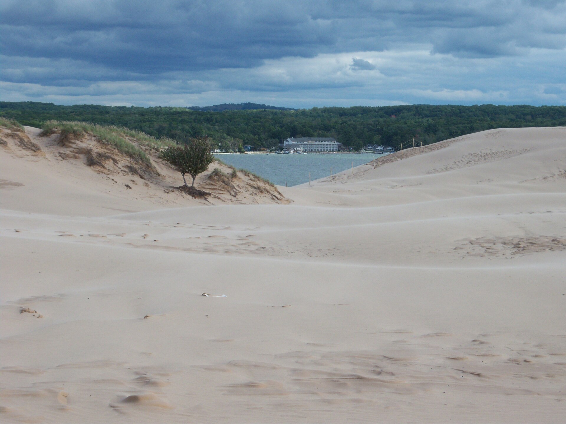
The Michigan leg from New Buffalo north is the densest and best-known stretch of the entire circuit. It runs through the southwestern beach towns, past Saugatuck and Douglas on the Art Coast, through Holland and Grand Haven and Muskegon with their state parks and long beaches, up past Ludington and Manistee, and into the dune country around Sleeping Bear Dunes National Lakeshore and the Leelanau Peninsula.
This is also where the Circle Tour overlaps with Michigan's most celebrated scenic drives. M-22 around Leelanau is part of the tour, which means a driver following the circuit gets the state's most photographed shoreline road as a matter of course. Travelers with limited time who want the best of the Michigan portion should concentrate here — the stretch from Muskegon to Traverse City delivers a disproportionate share of what makes the whole circuit worth driving.
Across the Straits and the Upper Peninsula
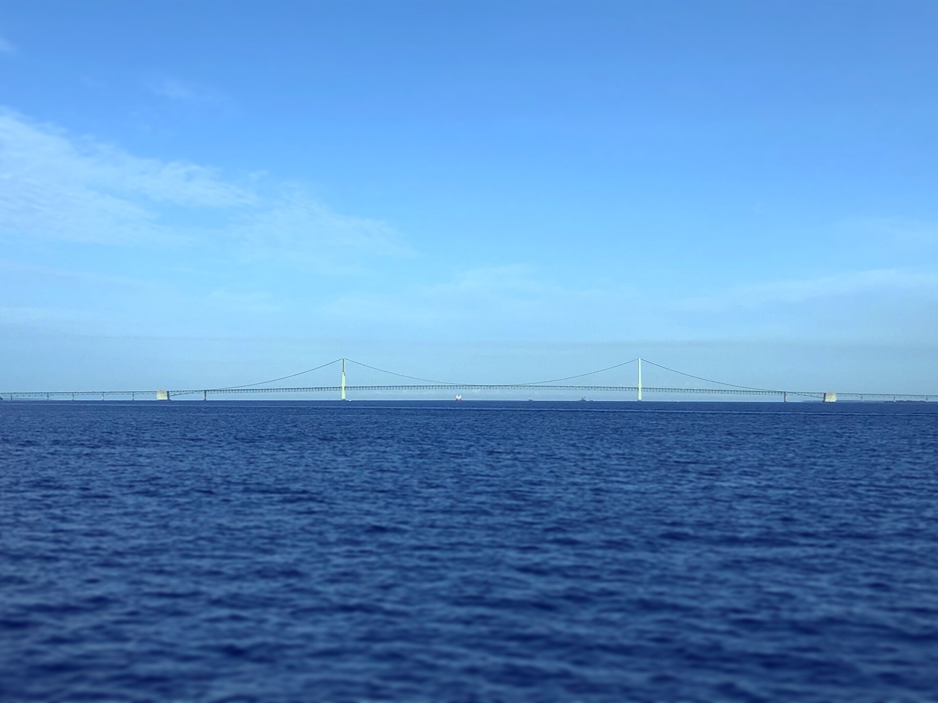
The Mackinac Bridge is the trip's pivot and its most dramatic single moment — five miles of suspension span between the peninsulas, carrying both the Lake Michigan and Lake Huron Circle Tours across the Straits at once. North of it, the character changes completely. The Upper Peninsula leg turns west from St. Ignace and follows the Lake Michigan shore through the dune-and-turquoise-water stretch between St. Ignace and Naubinway, past Manistique, and on toward Escanaba.
This is the emptiest and most demanding portion of the Michigan route. Services thin out substantially, cell coverage becomes patchy, and the distances between towns grow. Fuel planning stops being optional here. The compensation is that this stretch of Lake Michigan shoreline is the least developed anywhere on the lake — long beaches with nobody on them, and water color that surprises first-time visitors.
Planning a Realistic Trip
A full circumnavigation of Lake Michigan is a week at absolute minimum and considerably better with ten days to two weeks. Attempting it in less produces a driving marathon rather than a trip, since the Michigan portion alone would fill a week comfortably. Most travelers are better served by driving a segment properly than the whole circle badly, and the natural segments are the southwestern beach towns, the Leelanau and Sleeping Bear country, and the Upper Peninsula's Lake Michigan shore.
Season is straightforward: summer for the beaches and full services, early autumn for color and thinner crowds across the whole route, and winter for travelers who genuinely want empty roads and accept that a large share of shoreline businesses will be closed. Whichever segment or season, the same advice applies — build the route in advance, save it offline, and do not count on finding a sign at the next junction telling you where the tour goes.